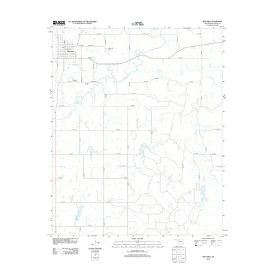
2012 Map of Wetumka
USGS Topo · Published 2012About this map
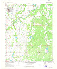
Wetumka serves as the focal point of this Oklahoma landscape, situated near the confluence of local road networks and the winding Wewoka Cr. The map reveals a high concentration of burial sites in the vicinity, including Wetumka Cem, Wetumka Baptist Cem, Barnett Cem, and S Community Cem, providing valuable spatial data for genealogical research in Hughes County.
Find a feature on this map
29 named features on this map. Tap any name to fly to it.
Don’t see what you’re looking for? This feature index may not catch every label — zoom into the map to look around manually.
Map Details
Editions of this 2012 Wetumka Map
This is the sole edition of this map. No revisions or reprints were ever made.
Other maps of this area

1900 · Wewoka
USGS Topo · 1:125,000

1954 · Oklahoma City
USGS Topo · 1:250,000

1957 · Oklahoma City
USGS Topo · 1:250,000

1963 · Oklahoma City
USGS Topo · 1:250,000

1967 · Okemah SE
USGS Topo · 1:24,000

1967 · Weleetka
USGS Topo · 1:24,000
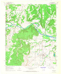
1967 · Dustin
USGS Topo · 1:24,000
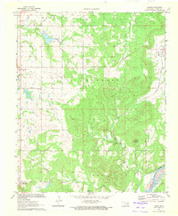
1970 · Lamar
USGS Topo · 1:24,000
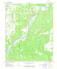
1971 · Wetumka SE
USGS Topo · 1:24,000
1971 · Wetumka
USGS Topo · 1:24,000