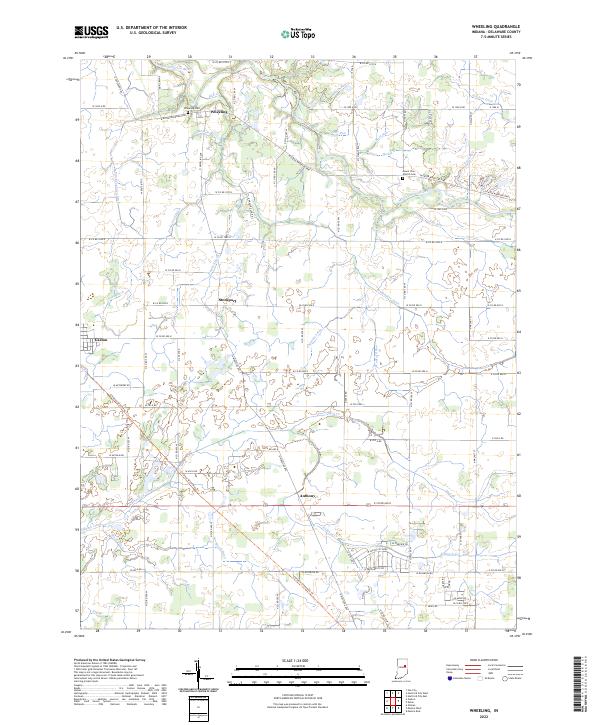
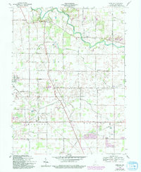
2022 Map of Wheeling
USGS Topo · Published 2022This historical map portrays the area of Wheeling in 2022, primarily covering Delaware County. Featuring a scale of 1:24000, this map provides a highly detailed snapshot of the terrain, roads, buildings, counties, and historical landmarks in the Wheeling region at the time. Published in 2022, it is the sole known edition of this map.
Map Details
Editions of this 2022 Wheeling Map
This is the sole edition of this map. No revisions or reprints were ever made.
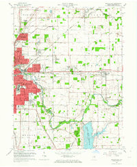
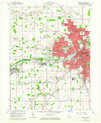
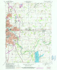
Historical Maps of Delaware County Through Time
13 maps found
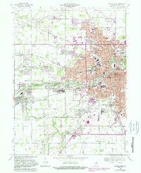
1952 Muncie East
Delaware County, IN
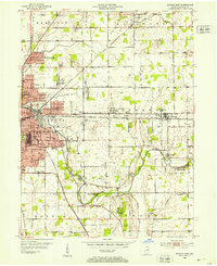
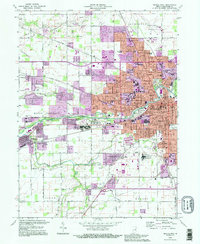
1952 Muncie West
Delaware County, IN
1960 Gilman
Delaware County, IN
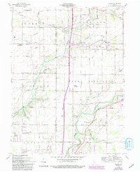
1960 Wheeling
Delaware County, IN
1962 Muncie East
Delaware County, IN
1962 Muncie West
Delaware County, IN
1969 Muncie East
Delaware County, IN
1969 Muncie West
Delaware County, IN
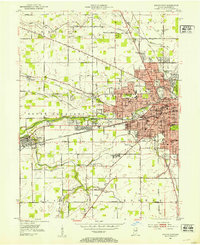
1992 Muncie West
Delaware County, IN
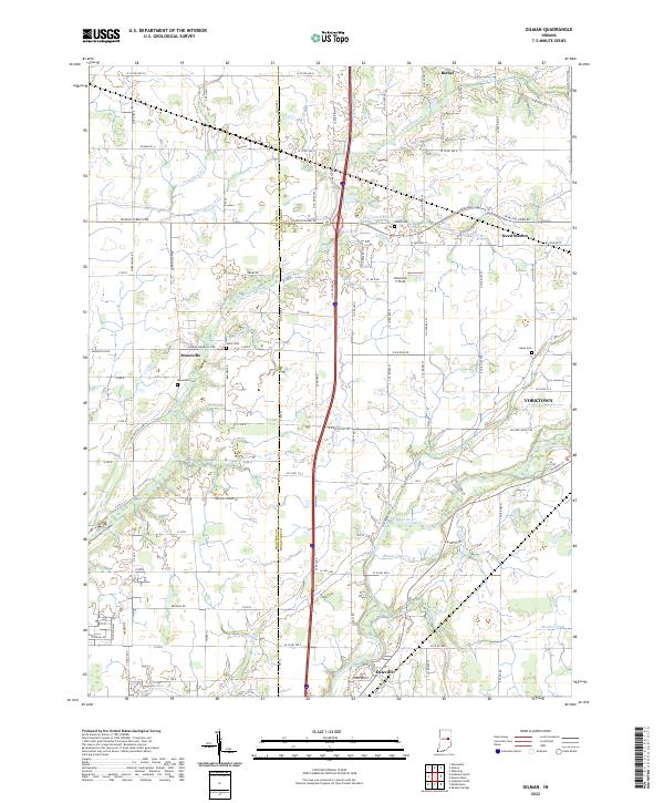
2022 Gilman
Delaware County, IN
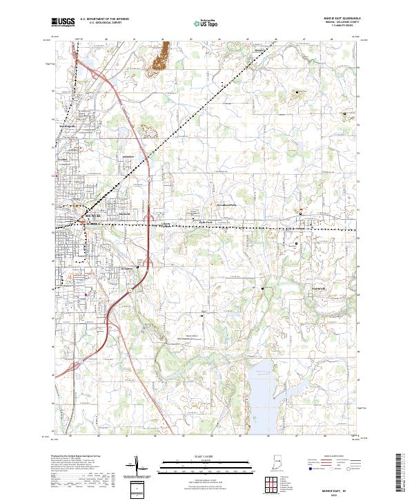
2022 Muncie East
Delaware County, IN
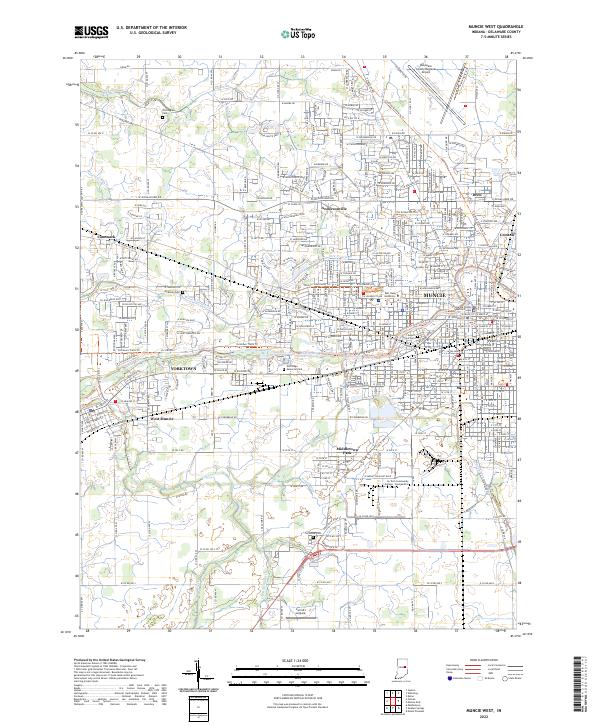
2022 Muncie West
Delaware County, IN
2022 Wheeling
Delaware County, IN