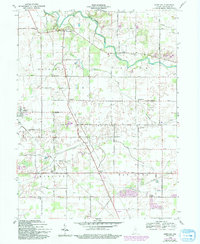
1960 Map of Wheeling
USGS Topo · Published 1994About this map
The Mississinewa River curves through the northern reach of this Delaware County landscape, defining the rural character of Washington and Union townships. At the turn of the 1960s, the area remained a traditional patchwork of small agricultural settlements and crossroads, anchored by the namesake village of Wheeling and its adjacent Wheeling Cem. The survey reveals a high density of rural religious life, with Union Grove Ch, Olive Chapel, and Center Chapel serving local congregations across the townships.
Find a feature on this map
33 named features on this map. Tap any name to fly to it.
Don’t see what you’re looking for? This feature index may not catch every label — zoom into the map to look around manually.
Map Details
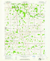
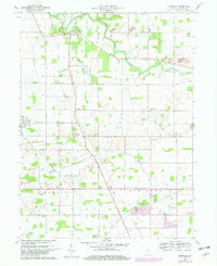
Editions of this 1960 Wheeling Map
4 editions found
Other maps of this area

1952 · Muncie East
USGS Topo · 1:24,000

1952 · Muncie West
USGS Topo · 1:24,000

1953 · Muncie
USGS Topo · 1:250,000

1956 · Muncie
USGS Topo · 1:250,000

1960 · Gilman
USGS Topo · 1:24,000

1960 · Hartford City East
USGS Topo · 1:24,000

1960 · Eaton
USGS Topo · 1:24,000

1960 · Wheeling
USGS Topo · 1:24,000

1960 · Gas City
USGS Topo · 1:24,000

1960 · Gaston
USGS Topo · 1:24,000