
1960 Map of Wheeling
USGS Topo · Published 1961About this map
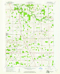
The Mississinewa River meanders across the northern reaches of this Delaware County landscape, carving a valley that defines the local terrain. Small agrarian settlements and whistle-stops like Wheeling, Stockport, and Anthony are interconnected by a dense grid of rural roads and the tracks of the Chesapeake and Ohio and Pennsylvania railroads. This network supported a mid-century economy built on agriculture and natural gas, evidenced by the scattered Gas Well symbols throughout the region.
Find a feature on this map
44 named features on this map. Tap any name to fly to it.
Don’t see what you’re looking for? This feature index may not catch every label — zoom into the map to look around manually.
Map Details
Editions of this 1960 Wheeling Map
4 editions found
Other maps of this area

1952 · Muncie East
USGS Topo · 1:24,000

1952 · Muncie West
USGS Topo · 1:24,000

1953 · Muncie
USGS Topo · 1:250,000

1956 · Muncie
USGS Topo · 1:250,000

1960 · Gilman
USGS Topo · 1:24,000

1960 · Hartford City East
USGS Topo · 1:24,000

1960 · Eaton
USGS Topo · 1:24,000

1960 · Gas City
USGS Topo · 1:24,000

1960 · Gaston
USGS Topo · 1:24,000

1960 · Hartford City West
USGS Topo · 1:24,000