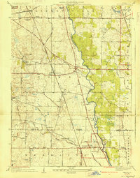
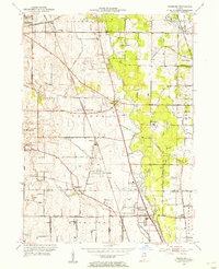
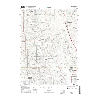
1928 Map of Wheeling
USGS Topo · Published 1928About this map
The Des Plaines River carves a winding path through this northern Illinois landscape, which was primarily agricultural when these aerial surveys were compiled by O.H. Nelson. The map documents a period of early suburban development where established townships like Wheeling and Libertyville are connected by a network of rural roads such as Dundee Road and Milwaukee Avenue. Small community centers and schools are scattered throughout the region, including the Long Grove School and Childerly School, serving the families of Long Grove and Buffalo Grove.
Find a feature on this map
62 named features on this map. Tap any name to fly to it.
Don’t see what you’re looking for? This feature index may not catch every label — zoom into the map to look around manually.
Map Details
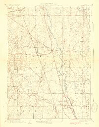
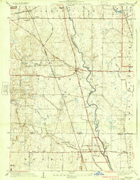
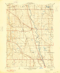
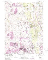
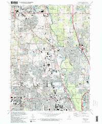
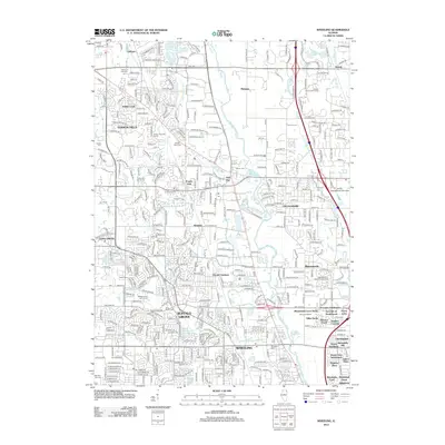
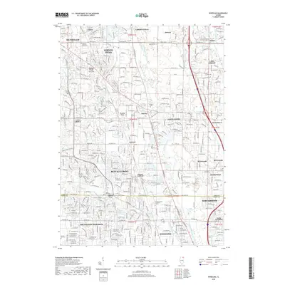
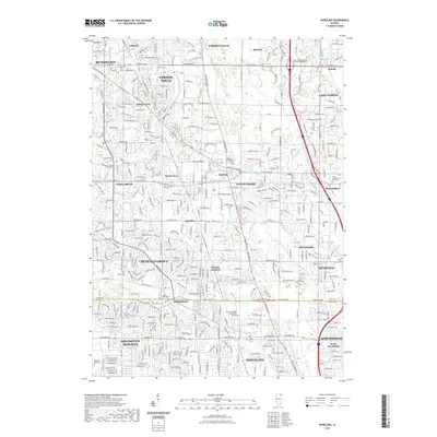
Editions of this 1928 Wheeling Map
4 editions found
Historical Maps of Arlington Heights Through Time
10 maps found

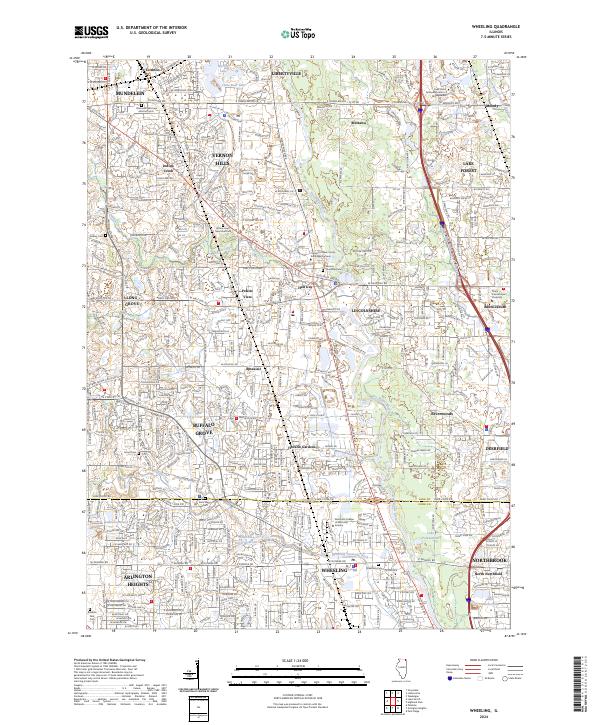
Featured Locations
- Buffalo Grove, IL
- Arlington Heights, IL
- Mundelein, IL
- Wheeling, Wheeling Township
- Northbrook, Northfield Township