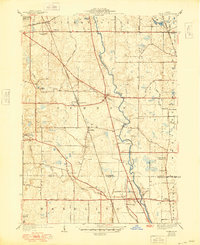
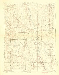
1928 Map of Wheeling
USGS Topo · Published 1948About this map
The Des Plaines River winds through this landscape during a period of transition, marking the boundary between established agricultural townships and the growing suburban reach of northern Illinois. Near the river's path, the small settlements of Halfday and Aptakisic serve as local hubs, while further west, Buffalo Grove and Long Grove maintain their rural character. The map illustrates a network of early regional thoroughfares like Milwaukee Avenue and McHenry Road, which intersect at critical points for local trade and travel.
Find a feature on this map
46 named features on this map. Tap any name to fly to it.
Don’t see what you’re looking for? This feature index may not catch every label — zoom into the map to look around manually.
Map Details
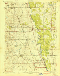
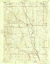
Editions of this 1928 Wheeling Map
4 editions found
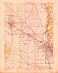
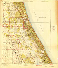
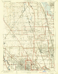
Other maps of this area

1900 · Highwood
USGS Topo · 1:62,500

1906 · Waukegan
USGS Topo · 1:62,500

1908 · Waukegan
USGS Topo · 1:62,500

1920 · Grays Lake
USGS Topo · 1:62,500

1923 · Grays Lake
USGS Topo · 1:62,500

1923 · Barrington
USGS Topo · 1:62,500
1927 · Arlington Heights
USGS Topo · 1:24,000
1928 · Wheeling
USGS Topo · 1:24,000
1928 · Highland Park
USGS Topo · 1:24,000
1929 · Park Ridge
USGS Topo · 1:24,000
Featured Places
- Arlington Heights, IL
- Buffalo Grove, IL
- Wheeling, Wheeling Township
- Northbrook, Northfield Township
- Mundelein, IL