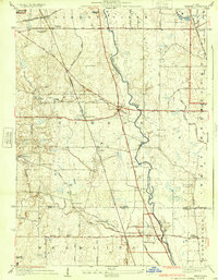
1928 Map of Wheeling
USGS Topo · Published 1932About this map
Wheeling and the surrounding townships of Vernon and Libertyville are defined by the convergence of the Des Plaines River and several major rail lines during the late 1920s. This survey reveals a landscape transitioning from rural farmsteads to suburban development, with the Chicago Milwaukee and St Paul and the Minneapolis St Paul and Sault Ste Marie railroads facilitating movement through the region. Small settlements like Halfday, Prairie View, and Aptakisic are established at key crossroads, while the presence of the Vernon Ridge Country Club signals the area's emerging recreational appeal. Local education and community life are grounded in a network of district schools, including Hawthorn School and Long Grove School, alongside resting places such as Diamond Lake Cemetery. Natural drainage patterns are evident through the Hawthorn Drainage Ditch and Wheeling Drainage Ditch, which manage the low-lying terrain north of the Lake Co Cook Co boundary.
Find a feature on this map
39 named features on this map. Tap any name to fly to it.
Don’t see what you’re looking for? This feature index may not catch every label — zoom into the map to look around manually.
Map Details
Editions of this 1928 Wheeling Map
4 editions found
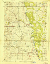
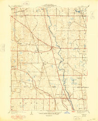
Other maps of this area

1900 · Highwood
USGS Topo · 1:62,500

1906 · Waukegan
USGS Topo · 1:62,500

1908 · Waukegan
USGS Topo · 1:62,500

1920 · Grays Lake
USGS Topo · 1:62,500

1923 · Grays Lake
USGS Topo · 1:62,500

1923 · Barrington
USGS Topo · 1:62,500

1927 · Arlington Heights
USGS Topo · 1:24,000

1928 · Wheeling
USGS Topo · 1:24,000

1928 · Highland Park
USGS Topo · 1:24,000

1929 · Park Ridge
USGS Topo · 1:24,000