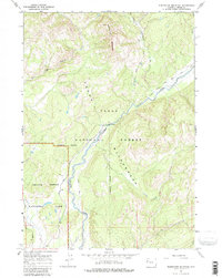
1965 Map of Whetstone Mountain
USGS Topo · Published 1980About this map
Teton Wilderness and the Teton National Forest dominate this mid-1960s survey, showing a landscape defined by its primitive backcountry routes and high-elevation drainages. The map centers on the dramatic Whetstone Mountain and the surrounding watersheds where the Pacific Creek and Atlantic Creek carve through the Teton range. This area is historically significant as part of the Continental Divide's hydrological network, where several major pack trails, including the Pacific Creek Trail and the West Cutoff (Pack) Trail, provide the only infrastructure through the dense terrain.
Find a feature on this map
18 named features on this map. Tap any name to fly to it.
Don’t see what you’re looking for? This feature index may not catch every label — zoom into the map to look around manually.
Map Details
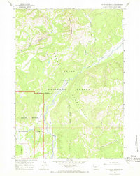
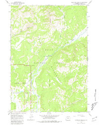
Editions of this 1965 Whetstone Mountain Map
3 editions found
Other maps of this area

1885 · Lake
USGS Topo · 1:125,000

1886 · Shoshone
USGS Topo · 1:125,000

1888 · Shoshone
USGS Topo · 1:125,000

1895 · Shoshone
USGS Topo · 1:125,000

1895 · Lake
USGS Topo · 1:125,000

1896 · Lake
USGS Topo · 1:125,000

1899 · Grand Teton
USGS Topo · 1:125,000

1901 · Shoshone
USGS Topo · 1:125,000

1901 · Lake
USGS Topo · 1:125,000

1901 · Grand Teton
USGS Topo · 1:125,000