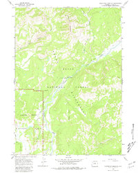
1965 Map of Whetstone Mountain
USGS Topo · Published 1980About this map
Teton Wilderness and Grand Teton National Park converge on this mid-1960s topographic survey, revealing a landscape defined by high-elevation drainages and primitive transit routes. The map detail centers on the Pacific Creek corridor, which serves as a vital artery for the Pacific Creek (Pack) Trail and the Atlantic Pacific Creek Trail. Unlike more developed regions, human presence is sparse here, marked primarily by the Wilderness Ranch and a single Gravel Pit. The terrain rises toward the prominent Whetstone Mountain, where numerous seasonal streams like Whetstone Creek and the East Fork Pilgrim Creek carve through the topography. This sheet captures the interface of protected federal lands before the modern expansion of tourism infrastructure, preserving the exact alignments of historic pack trails like the Lava Creek (Pack) Trail and West Cutoff (Pack) Trail.
Find a feature on this map
17 named features on this map. Tap any name to fly to it.
Don’t see what you’re looking for? This feature index may not catch every label — zoom into the map to look around manually.
Map Details
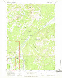
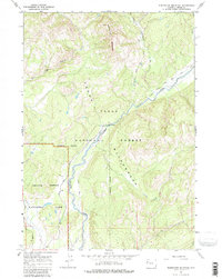
Editions of this 1965 Whetstone Mountain Map
3 editions found
Other maps of this area

1885 · Lake
USGS Topo · 1:125,000

1886 · Shoshone
USGS Topo · 1:125,000

1888 · Shoshone
USGS Topo · 1:125,000

1895 · Shoshone
USGS Topo · 1:125,000

1895 · Lake
USGS Topo · 1:125,000

1896 · Lake
USGS Topo · 1:125,000

1899 · Grand Teton
USGS Topo · 1:125,000

1901 · Shoshone
USGS Topo · 1:125,000

1901 · Lake
USGS Topo · 1:125,000

1901 · Grand Teton
USGS Topo · 1:125,000