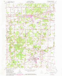
1964 Map of Whitehouse
USGS Topo · Published 1980About this map
Whitehouse sits at the heart of this Lucas County survey, showcasing a landscape defined by the intersection of industrial transport and preserved natural spaces. The Norfolk and Western and Conrail lines cut across the terrain, serving small communities like Wilkins and Midway while bypassing the expansive tracts of the Maumee State Forest and Oak Openings Park. A significant portion of the northern area is occupied by the Toledo Express Airport, signaling the mid-century expansion of regional infrastructure.
Find a feature on this map
50 named features on this map. Tap any name to fly to it.
Don’t see what you’re looking for? This feature index may not catch every label — zoom into the map to look around manually.
Map Details
Editions of this 1964 Whitehouse Map
2 editions found
Other maps of this area

1900 · Toledo
USGS Topo · 1:62,500

1901 · Bowling Green
USGS Topo · 1:62,500

1903 · Bowling Green
USGS Topo · 1:62,500

1909 · Mc Clure
USGS Topo · 1:62,500

1911 · Swanton
USGS Topo · 1:62,500

1914 · Swanton
USGS Topo · 1:62,500

1935 · Grand Rapids
USGS Topo · 1:24,000

1935 · Whitehouse
USGS Topo · 1:24,000

1935 · Maumee
USGS Topo · 1:24,000

1935 · Berkey
USGS Topo · 1:24,000