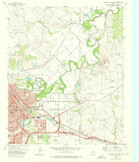
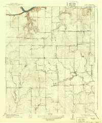
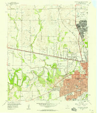
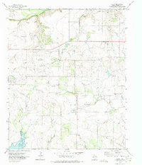
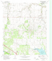
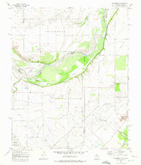
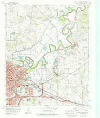
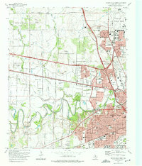
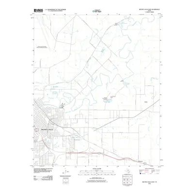
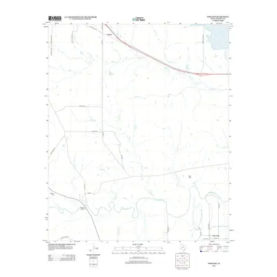
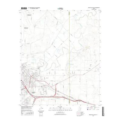
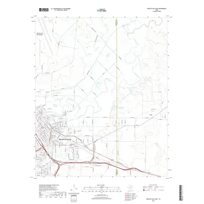
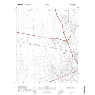
1972 Map of Wichita Falls East
USGS Topo · Published 1976About this map
Wichita Falls expands eastward across the Wichita Valley in this early 1970s record of urban development and infrastructure. The landscape is defined by the winding course of the Wichita River and an intricate network of irrigation features like the North Side Canal and the W P Lateral, which supported the region's agricultural transition. Industrial and logistical hubs are prominent, including the sprawling Sheppard Air Force Base to the northwest and the Oklahoma Yards rail facility.
Find a feature on this map
62 named features on this map. Tap any name to fly to it.
Don’t see what you’re looking for? This feature index may not catch every label — zoom into the map to look around manually.
Map Details
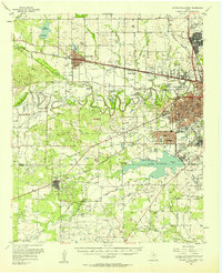
Editions of this 1972 Wichita Falls East Map
2 editions found
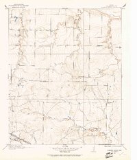
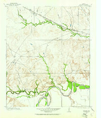
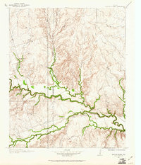
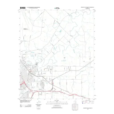
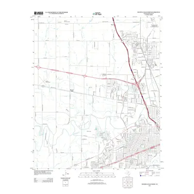
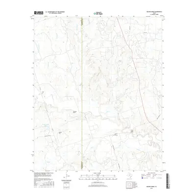
Historical Maps of Wichita Falls Through Time
53 maps found
1915 Barwise School
Wichita County, TX

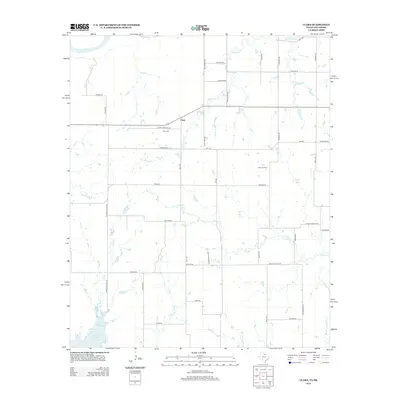
1915 Clara
Wichita County, TX
1916 Fowlkes
Wichita County, TX
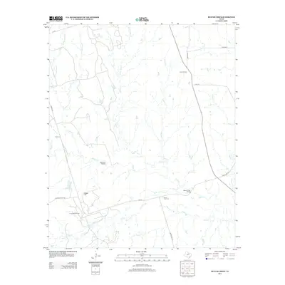
1917 Beaver Creek
Wichita County, TX
1918 Barwise School
Wichita County, TX
1918 Clara
Wichita County, TX
1919 Fowlkes
Wichita County, TX

1920 Beaver Creek
Wichita County, TX
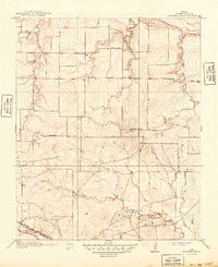
1957 Wichita Falls East
Wichita County, TX
1957 Wichita Falls West
Wichita County, TX
1957 Wichita Falls West
Wichita County, TX
1968 Beaver Creek
Wichita County, TX
1968 Fowlkes
Wichita County, TX
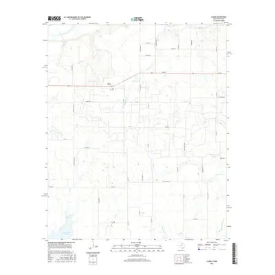
1972 Clara
Wichita County, TX
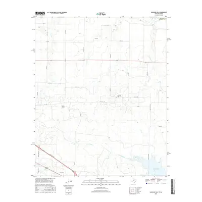
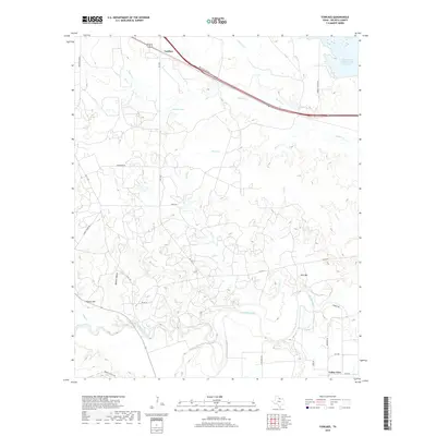
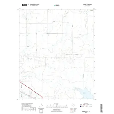
1972 Sunshine Hill
Wichita County, TX
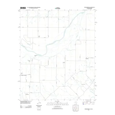
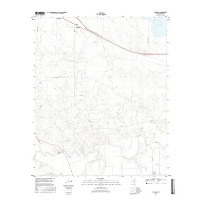
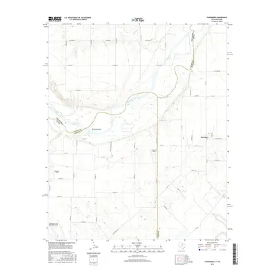
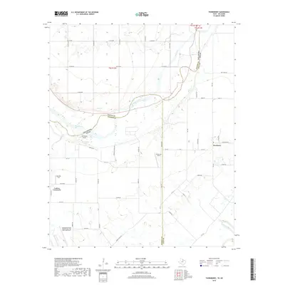
1972 Thornberry
Wichita County, TX
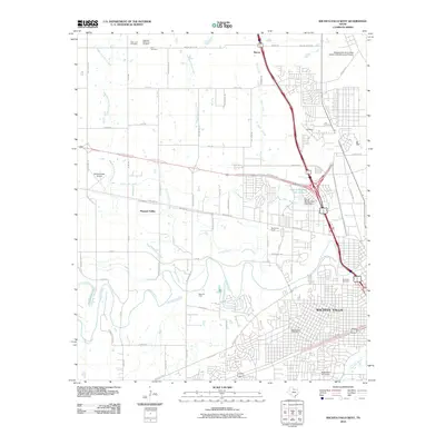
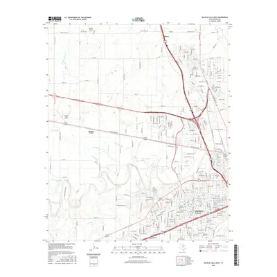
1972 Wichita Falls East
Wichita County, TX
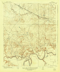
1972 Wichita Falls West
Wichita County, TX
2010 Beaver Creek
Wichita County, TX
2010 Fowlkes
Wichita County, TX
2010 Thornberry
Wichita County, TX
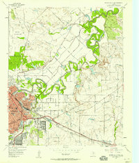
2010 Wichita Falls East
Wichita County, TX
2010 Wichita Falls West
Wichita County, TX
2011 Clara
Wichita County, TX
2011 Sunshine Hill
Wichita County, TX
2012 Beaver Creek
Wichita County, TX
2012 Clara
Wichita County, TX
2012 Sunshine Hill
Wichita County, TX
2012 Thornberry
Wichita County, TX
2013 Fowlkes
Wichita County, TX
2013 Wichita Falls East
Wichita County, TX
2013 Wichita Falls West
Wichita County, TX
2016 Beaver Creek
Wichita County, TX
2016 Clara
Wichita County, TX
2016 Fowlkes
Wichita County, TX
2016 Sunshine Hill
Wichita County, TX
2016 Thornberry
Wichita County, TX
2016 Wichita Falls East
Wichita County, TX
2016 Wichita Falls West
Wichita County, TX
2019 Beaver Creek
Wichita County, TX
2019 Clara
Wichita County, TX
2019 Fowlkes
Wichita County, TX
2019 Sunshine Hill
Wichita County, TX
2019 Thornberry
Wichita County, TX
2019 Wichita Falls East
Wichita County, TX
2019 Wichita Falls West
Wichita County, TX
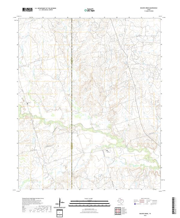
2022 Beaver Creek
Wichita County, TX
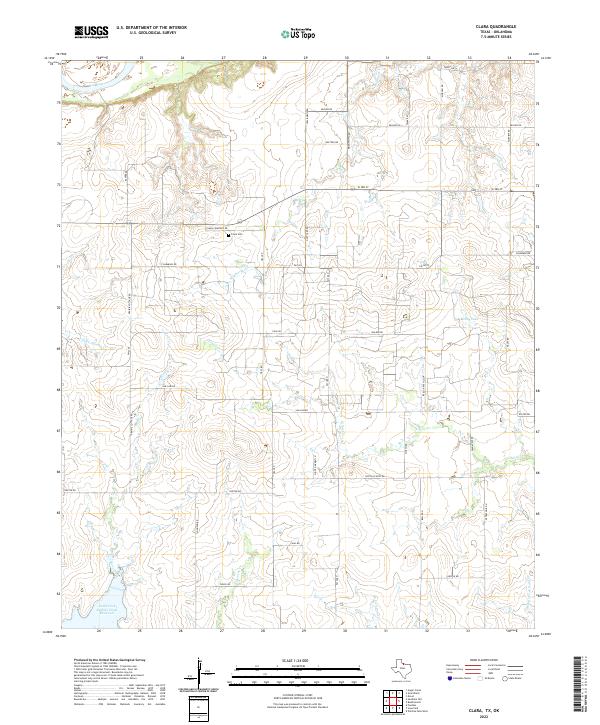
2022 Clara
Wichita County, TX
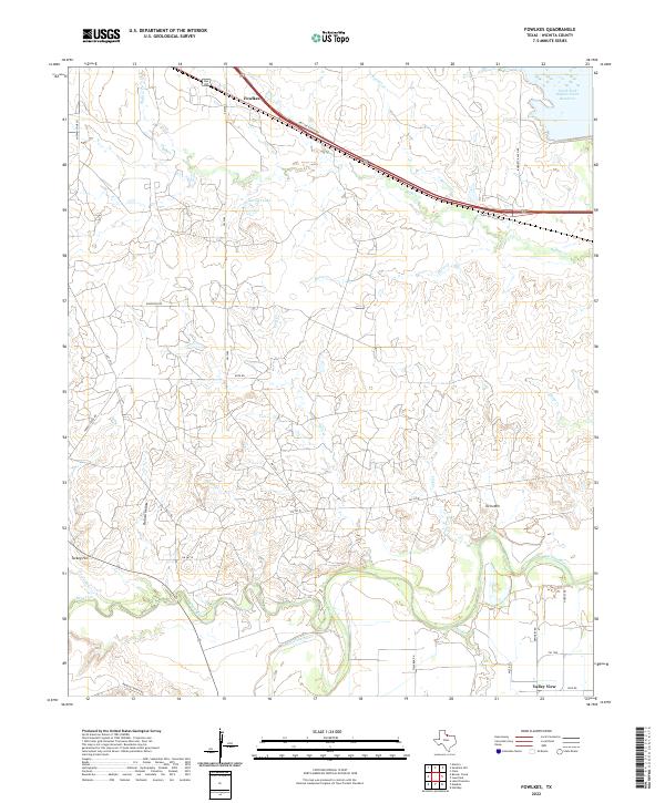
2022 Fowlkes
Wichita County, TX
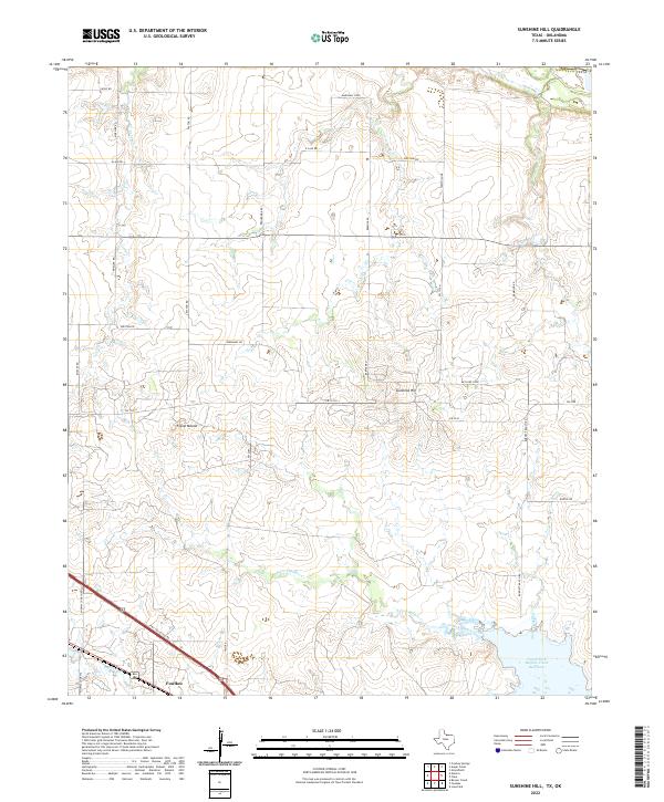
2022 Sunshine Hill
Wichita County, TX
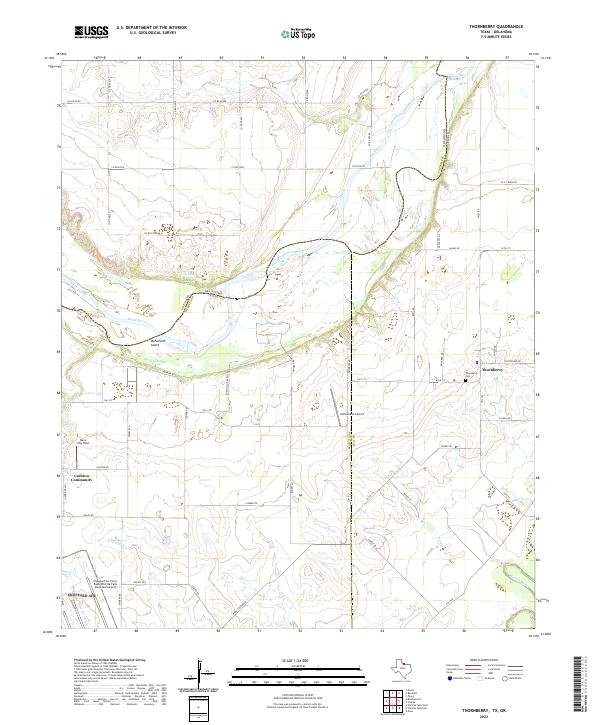
2022 Thornberry
Wichita County, TX
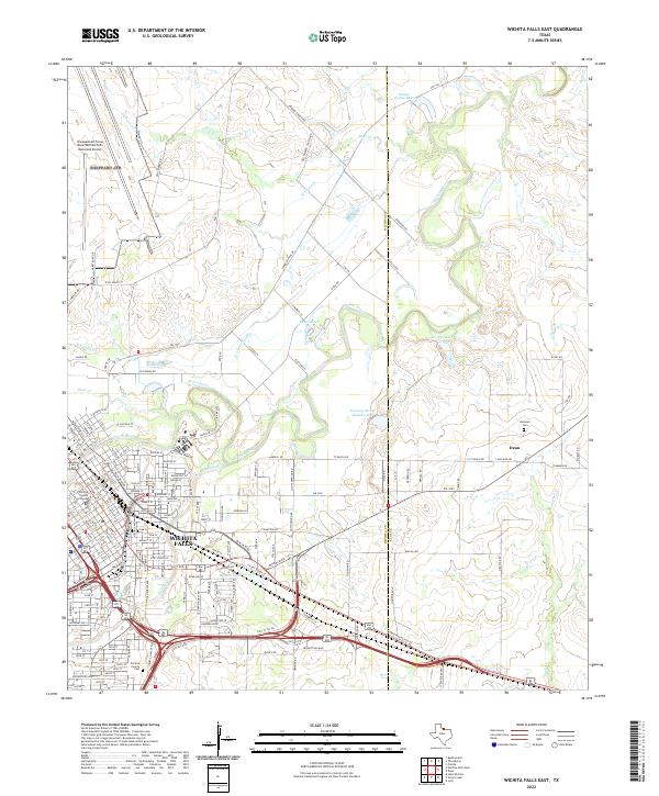
2022 Wichita Falls East
Wichita County, TX
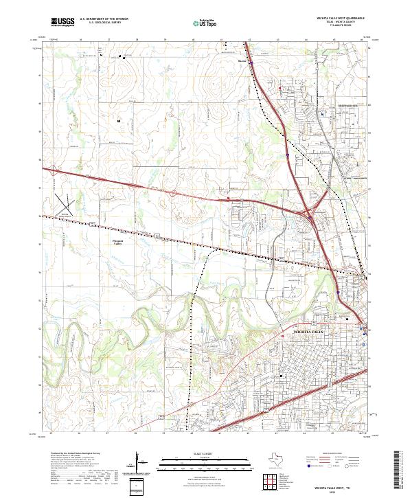
2022 Wichita Falls West
Wichita County, TX