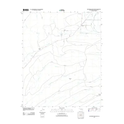
2012 Map of Wildhorse Mountain
USGS Topo · Published 2012About this map
Divide and Nashoba Y sit within this landscape of steep ridges and creek drainages in Pushmataha County. The terrain is defined by the sharp elevations of Wildhorse Mtn and Blackjack Mtn, where the Cloudy Lookout Tower monitors the surrounding timberland. This 2012 survey illustrates a network of forestry and access routes including the Florence Trl and Rattan Trl that wind through the hills alongside numerous waterways. Notable hydrology includes Sulphur Spring and the passage of Cedar Cr through Sulphur Canyon. The mapping reflects the transition of this area into a more modern phase of land management, though the placement of these primitive trails and family-named landmarks preserves the older geographic footprint of the Kiamichi Mountains region. Numerous streams like Cloudy Cr and Middle One Cr segment the hills, indicating the complex watershed that feeds the Black Fork.
Find a feature on this map
39 named features on this map. Tap any name to fly to it.
Don’t see what you’re looking for? This feature index may not catch every label — zoom into the map to look around manually.
Map Details
Editions of this 2012 Wildhorse Mountain Map
This is the sole edition of this map. No revisions or reprints were ever made.
Other maps of this area

1901 · Tuskahoma
USGS Topo · 1:125,000

1901 · Alikchi
USGS Topo · 1:125,000

1908 · Tuskahoma
USGS Topo · 1:125,000

1909 · Tuskahoma
USGS Topo · 1:125,000

1950 · Mcalester
USGS Topo · 1:250,000

1962 · McAlester
USGS Topo · 1:250,000

1962 · Caney Mountain
USGS Topo · 1:24,000

1965 · McAlester
USGS Topo · 1:250,000
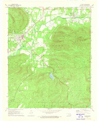
1971 · Clayton
USGS Topo · 1:24,000
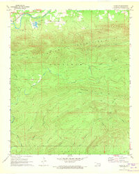
1971 · Albion SW
USGS Topo · 1:24,000