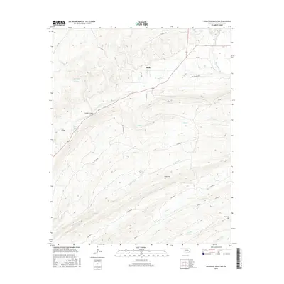
2016 Map of Wildhorse Mountain
USGS Topo · Published 2016About this map
The small settlement of Divide sits atop the high ground of the Ouachita mountains in Pushmataha County, serving as a focal point for a network of local roads and primitive trails. The landscape is defined by its drainage patterns, with numerous creeks flowing from the ridges, including Buzzard Cr, Slicker Cr, and Middle One Cr. The Pryor Creek Site 31 Reservoir represents a significant water management feature in this upland environment, while prominent peaks like Wildhorse Mtn and Blackjack Mtn overlook the surrounding valleys.
Find a feature on this map
35 named features on this map. Tap any name to fly to it.
Don’t see what you’re looking for? This feature index may not catch every label — zoom into the map to look around manually.
Map Details
Editions of this 2016 Wildhorse Mountain Map
This is the sole edition of this map. No revisions or reprints were ever made.
Other maps of this area

1901 · Tuskahoma
USGS Topo · 1:125,000

1901 · Alikchi
USGS Topo · 1:125,000

1908 · Tuskahoma
USGS Topo · 1:125,000

1909 · Tuskahoma
USGS Topo · 1:125,000

1950 · Mcalester
USGS Topo · 1:250,000

1962 · McAlester
USGS Topo · 1:250,000

1962 · Caney Mountain
USGS Topo · 1:24,000

1965 · McAlester
USGS Topo · 1:250,000
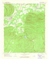
1971 · Clayton
USGS Topo · 1:24,000
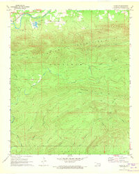
1971 · Albion SW
USGS Topo · 1:24,000