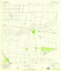
1956 Map of Willamar SW
USGS Topo · Published 1958About this map
Agricultural development and water management define the landscape in this 1950s survey of the borderlands between Willacy and Cameron Counties. The North Floodway and Pilot Channel dominate the central terrain, cutting across the map to redirect water through a series of engineered paths. Near the southern edge, the settlement of Combes sits at the junction of the Missouri Pacific railroad and localized infrastructure, including Elliott Airport and the Dishman Sch.
Find a feature on this map
20 named features on this map. Tap any name to fly to it.
Don’t see what you’re looking for? This feature index may not catch every label — zoom into the map to look around manually.
Map Details
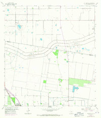
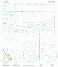
Editions of this 1956 Willamar SW Map
3 editions found
Other maps of this area

1929 · Rio Hondo
USGS Topo · 1:24,000

1929 · Harlingen
USGS Topo · 1:24,000

1929 · Santa Rosa
USGS Topo · 1:24,000

1929 · La Feria
USGS Topo · 1:24,000

1932 · Combes
USGS Topo · 1:31,680

1932 · Rio Hondo
USGS Topo · 1:31,680

1932 · Harlingen
USGS Topo · 1:31,680

1933 · Santa Rosa
USGS Topo · 1:31,680

1933 · Paso Real
USGS Topo · 1:31,680

1936 · La Feria
USGS Topo · 1:31,680