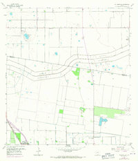
1956 Map of Willamar SW
USGS Topo · Published 1970About this map
Agricultural development and flood control infrastructure dominate the landscape of southern Texas as captured in this mid-century survey. The massive North Floodway and its accompanying Pilot Channel slice through the terrain, illustrating the significant engineering efforts required to manage water in the Rio Grande Valley. To the north, Santa Rosa Lake provides a natural landmark amidst a grid of irrigation works, including the Elevated Canal system and multiple Pumping Stations.
Find a feature on this map
20 named features on this map. Tap any name to fly to it.
Don’t see what you’re looking for? This feature index may not catch every label — zoom into the map to look around manually.
Map Details
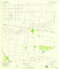
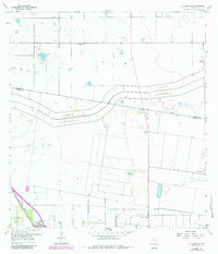
Editions of this 1956 Willamar SW Map
3 editions found
Other maps of this area

1929 · Rio Hondo
USGS Topo · 1:24,000

1929 · Harlingen
USGS Topo · 1:24,000

1929 · Santa Rosa
USGS Topo · 1:24,000

1929 · La Feria
USGS Topo · 1:24,000

1932 · Combes
USGS Topo · 1:31,680

1932 · Rio Hondo
USGS Topo · 1:31,680

1932 · Harlingen
USGS Topo · 1:31,680

1933 · Santa Rosa
USGS Topo · 1:31,680

1933 · Paso Real
USGS Topo · 1:31,680

1936 · La Feria
USGS Topo · 1:31,680