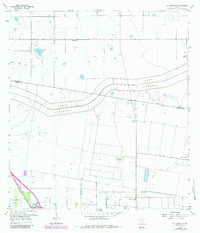
1956 Map of Willamar SW
USGS Topo · Published 1984About this map
The North Floodway and Pilot Channel dominate this landscape on the Willacy Co and Cameron Co line, illustrating the complex water management systems of the Lower Rio Grande Valley. In the mid-1950s, the rural character of the region is defined by a network of drainage ditches and ranching outposts like El Graza Ranch, Hardin Ranch, and Aldale Ranch. The settlement at Combes serves as a small hub in the southwest corner, situated along the Missouri Pacific railroad. Local education and community life are anchored by the Dishman Sch and Briggs Colman Sch, while the Bracero Camp points to the area's agricultural labor history. Genealogists will also find interest in the Noyola Cem and a smaller unnamed Cem near the floodway, markers of the families who settled this irrigated terrain.
Find a feature on this map
19 named features on this map. Tap any name to fly to it.
Don’t see what you’re looking for? This feature index may not catch every label — zoom into the map to look around manually.
Map Details
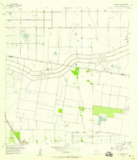
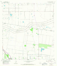
Editions of this 1956 Willamar SW Map
3 editions found
Other maps of this area

1929 · Rio Hondo
USGS Topo · 1:24,000

1929 · Harlingen
USGS Topo · 1:24,000

1929 · Santa Rosa
USGS Topo · 1:24,000

1929 · La Feria
USGS Topo · 1:24,000

1932 · Combes
USGS Topo · 1:31,680

1932 · Rio Hondo
USGS Topo · 1:31,680

1932 · Harlingen
USGS Topo · 1:31,680

1933 · Santa Rosa
USGS Topo · 1:31,680

1933 · Paso Real
USGS Topo · 1:31,680

1936 · La Feria
USGS Topo · 1:31,680