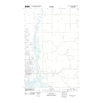
2011 Map of Williston East
USGS Topo · Published 2011About this map
The Little Muddy River meanders through this landscape, defining the eastern expansion of Williston as it approaches its confluence with the Missouri River to the south. This 2011 survey documents a transitional period of growth for the area, where residential street grids such as Dakota Dr and Frontage Rd E meet the traditional agricultural and industrial corridors of the BNSF Railway.
Find a feature on this map
72 named features on this map. Tap any name to fly to it.
Don’t see what you’re looking for? This feature index may not catch every label — zoom into the map to look around manually.
Map Details
Editions of this 2011 Williston East Map
This is the sole edition of this map. No revisions or reprints were ever made.
Other maps of this area

1911 · Ray
USGS Topo · 1:125,000

1953 · Williston
USGS Topo · 1:250,000

1957 · Williston
USGS Topo · 1:250,000

1959 · Marmon SE
USGS Topo · 1:24,000

1959 · Williston West
USGS Topo · 1:24,000

1959 · Williston East
USGS Topo · 1:24,000

1974 · Otter Tail Creek
USGS Topo · 1:24,000

1978 · Lake Jessie
USGS Topo · 1:24,000

1978 · Spring Brook
USGS Topo · 1:24,000
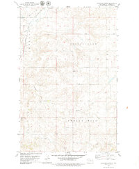
1979 · Stockyard Creek
USGS Topo · 1:24,000