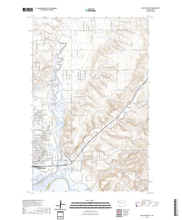
2024 Map of Williston East
USGS Topo · Published 2024About this map
The Williston city limits expand eastward in this 2024 landscape, defined by the winding course of the Little Muddy River as it approaches its confluence with the northern reaches of Lake Sakakawea. The eastern portion of the city is a hub of civic and educational life, anchored by the Williams County Courthouse and the campus of Williston State College. A grid of modern development and industrial corridors, such as E Broadway, contrasts with the deeply incised drainages of the Missouri River plateau.
Find a feature on this map
94 named features on this map. Tap any name to fly to it.
Don’t see what you’re looking for? This feature index may not catch every label — zoom into the map to look around manually.
Map Details
Editions of this 2024 Williston East Map
This is the sole edition of this map. No revisions or reprints were ever made.
Other maps of this area

1911 · Ray
USGS Topo · 1:125,000

1953 · Williston
USGS Topo · 1:250,000

1957 · Williston
USGS Topo · 1:250,000

1959 · Marmon SE
USGS Topo · 1:24,000

1959 · Williston West
USGS Topo · 1:24,000

1959 · Williston East
USGS Topo · 1:24,000

1974 · Otter Tail Creek
USGS Topo · 1:24,000

1978 · Lake Jessie
USGS Topo · 1:24,000

1978 · Spring Brook
USGS Topo · 1:24,000
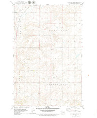
1979 · Stockyard Creek
USGS Topo · 1:24,000