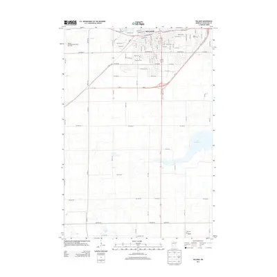
2013 Map of Willmar
USGS Topo · Published 2013About this map
Willmar serves as the regional hub for Kandiyohi County, anchoring a landscape where the urban grid meets a complex network of glacial prairie lakes. The northern section of the map is defined by the city's growth, centered around Foot Lake and the expansive Willmar Municipal Airport-John L Rice Field. Local history is deeply embedded in the outlying areas, particularly through several religious landmarks such as Saint Marys Cem and Free Church Cem. To the south, the terrain transitions into a more rural character toward the community of Svea, which maintains its own distinct identity with the Svea Cem and Hardanger Cem. Significant water bodies like Lake Wakanda and Stevens Lake dominate the southeastern and southwestern quadrants, illustrating the vital role of these drainage basins in the local geography and the path of Hawk Cr.
Find a feature on this map
58 named features on this map. Tap any name to fly to it.
Don’t see what you’re looking for? This feature index may not catch every label — zoom into the map to look around manually.
Map Details
Editions of this 2013 Willmar Map
This is the sole edition of this map. No revisions or reprints were ever made.
Other maps of this area

1953 · New Ulm
USGS Topo · 1:250,000

1953 · Saint Cloud
USGS Topo · 1:250,000

1956 · Atwater
USGS Topo · 1:62,500

1957 · Saint Cloud
USGS Topo · 1:250,000

1957 · New Ulm
USGS Topo · 1:250,000

1957 · Olivia
USGS Topo · 1:62,500

1958 · New Ulm
USGS Topo · 1:250,000

1958 · Saint Cloud
USGS Topo · 1:250,000

1958 · Raymond
USGS Topo · 1:24,000

1958 · Pennock
USGS Topo · 1:24,000