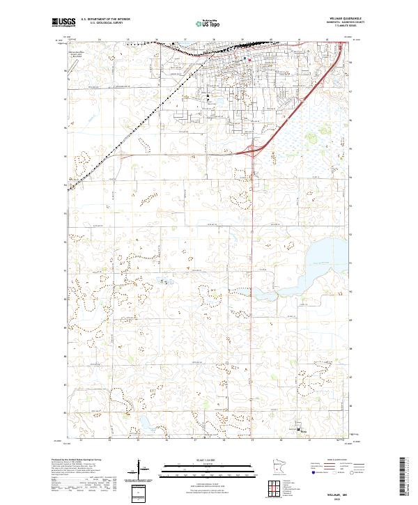
2022 Map of Willmar
USGS Topo · Published 2022About this map
Willmar serves as the regional hub of Kandiyohi County, its urban grid centered around the Kandiyohi County Courthouse and extending south into the agricultural prairie. The city’s northern edge is defined by the waters of Foot Lake, while the western periphery is marked by the Willmar Municipal Airport-John L Rice Field. This landscape is characterized by a high density of rural cemeteries, including Saint Marys Cem, Bethel Cem, and Free Church Cem, which reflect the long-standing community foundations in this part of Minnesota.
Find a feature on this map
47 named features on this map. Tap any name to fly to it.
Don’t see what you’re looking for? This feature index may not catch every label — zoom into the map to look around manually.
Map Details
Editions of this 2022 Willmar Map
This is the sole edition of this map. No revisions or reprints were ever made.
Other maps of this area

1953 · New Ulm
USGS Topo · 1:250,000

1953 · Saint Cloud
USGS Topo · 1:250,000

1956 · Atwater
USGS Topo · 1:62,500

1957 · Saint Cloud
USGS Topo · 1:250,000

1957 · New Ulm
USGS Topo · 1:250,000

1957 · Olivia
USGS Topo · 1:62,500

1958 · New Ulm
USGS Topo · 1:250,000

1958 · Saint Cloud
USGS Topo · 1:250,000

1958 · Raymond
USGS Topo · 1:24,000

1958 · Pennock
USGS Topo · 1:24,000