
1958 Map of Willmar
USGS Topo · Published 1960About this map
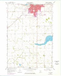
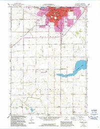
Willmar serves as a thriving regional hub in the late 1950s, its urban grid expanding south of Foot Lake and north of the Drive-in Theater. The city's educational landscape is densely detailed, featuring the Lincoln Sch, Garfield Sch, and Washington Sch among several others. To the west, the Willmar Airport and the Great Northern rail lines mark the city as a center for transport and commerce.
Find a feature on this map
37 named features on this map. Tap any name to fly to it.
Don’t see what you’re looking for? This feature index may not catch every label — zoom into the map to look around manually.
Map Details
Editions of this 1958 Willmar Map
3 editions found
Other maps of this area

1953 · New Ulm
USGS Topo · 1:250,000

1953 · Saint Cloud
USGS Topo · 1:250,000

1956 · Atwater
USGS Topo · 1:62,500

1957 · Saint Cloud
USGS Topo · 1:250,000

1957 · New Ulm
USGS Topo · 1:250,000

1957 · Olivia
USGS Topo · 1:62,500

1958 · New Ulm
USGS Topo · 1:250,000

1958 · Saint Cloud
USGS Topo · 1:250,000

1958 · Raymond
USGS Topo · 1:24,000

1958 · Pennock
USGS Topo · 1:24,000