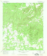
1967 Map of Willow City
USGS Topo · Published 1970About this map
Willow City and the nearby settlement of Eckert occupy a landscape defined by the rugged crossings of Willow Creek and Coal Creek. This 1967 survey captures the area during a period of ranching and infrastructure growth, shown by the extensive network of fence lines and pipelines traversing the terrain. The presence of the Eckert Pumping Sta and multiple radio facilities near Bell Mountain suggests the strategic utility of these hills during the mid-20th century.
Find a feature on this map
39 named features on this map. Tap any name to fly to it.
Don’t see what you’re looking for? This feature index may not catch every label — zoom into the map to look around manually.
Map Details
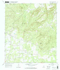
Editions of this 1967 Willow City Map
2 editions found
Other maps of this area

1887 · Llano
USGS Topo · 1:125,000

1894 · Fredericksburg
USGS Topo · 1:125,000

1894 · Llano
USGS Topo · 1:125,000

1904 · Llano
USGS Topo · 1:125,000

1909 · Llano
USGS Topo · 1:125,000

1918 · Llano
USGS Topo · 1:125,000

1954 · Llano
USGS Topo · 1:250,000

1955 · Llano
USGS Topo · 1:250,000

1956 · Llano
USGS Topo · 1:250,000

1961 · Cave Creek School
USGS Topo · 1:24,000