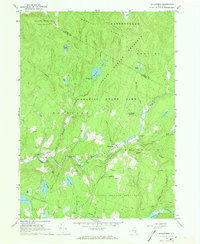
1966 Map of Willowemoc
USGS Topo · Published 1968About this map
Willowemoc Creek and its tributaries carve through this heavily forested section of the Catskill State Park during the mid-1960s. The area is defined by a deep conservation footprint, spanning the State Forest Preserve and featuring critical water infrastructure like the Aqueduct and the northern reaches of the Neversink Res. Small settlements like Willowemoc and Debruce anchor the valley, while the local economy and land use are geared toward outdoor recreation and conservation, evidenced by the State Fish Hatchery and numerous campsites. This period captures the landscape before significant modern development, showing a network of Jeep Trails and remote ponds such as Hodge Pond and Frick Pond that remain central to the region's wilderness character. The presence of the Covered Bridge Campsite near Anderson highlights the enduring appeal of the Catskill interior.
Find a feature on this map
40 named features on this map. Tap any name to fly to it.
Don’t see what you’re looking for? This feature index may not catch every label — zoom into the map to look around manually.
Map Details
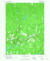
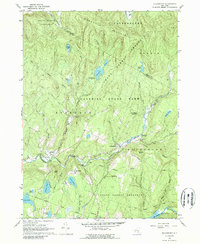
Editions of this 1966 Willowemoc Map
3 editions found
Other maps of this area

1901 · Margaretville
USGS Topo · 1:62,500

1904 · Margaretville
USGS Topo · 1:62,500

1910 · Neversink
USGS Topo · 1:62,500

1921 · Livingston Manor
USGS Topo · 1:62,500

1922 · Andes
USGS Topo · 1:62,500

1923 · Livingston Manor
USGS Topo · 1:62,500

1924 · Andes
USGS Topo · 1:62,500

1942 · Neversink
USGS Topo · 1:62,500

1943 · Monticello
USGS Topo · 1:125,000

1944 · Livingston Manor
USGS Topo · 1:62,500