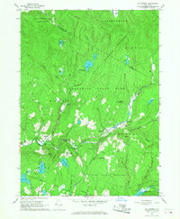
1966 Map of Willowemoc
USGS Topo · Published 1973About this map
Catskill State Park dominates this mid-1960s landscape, where the vast State Forest Preserve blankets the high elevations of Mongaup Mountain and Slawson Mtn. The map documents a rugged recreational and utility corridor defined by the Neversink River and the high-altitude Neversink Res in the southeast. Significant water infrastructure is visible, including the subterranean path of the Delaware Aqueduct and the NY City Water Supply Bdy Res.
Find a feature on this map
47 named features on this map. Tap any name to fly to it.
Don’t see what you’re looking for? This feature index may not catch every label — zoom into the map to look around manually.
Map Details
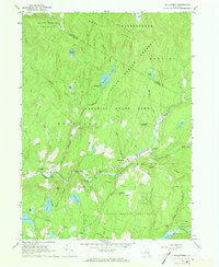
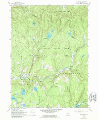
Editions of this 1966 Willowemoc Map
3 editions found
Other maps of this area

1901 · Margaretville
USGS Topo · 1:62,500

1904 · Margaretville
USGS Topo · 1:62,500

1910 · Neversink
USGS Topo · 1:62,500

1921 · Livingston Manor
USGS Topo · 1:62,500

1922 · Andes
USGS Topo · 1:62,500

1923 · Livingston Manor
USGS Topo · 1:62,500

1924 · Andes
USGS Topo · 1:62,500

1942 · Neversink
USGS Topo · 1:62,500

1943 · Monticello
USGS Topo · 1:125,000

1944 · Livingston Manor
USGS Topo · 1:62,500