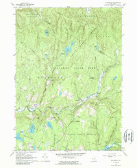
1966 Map of Willowemoc
USGS Topo · Published 1989About this map
The rugged highlands of the State Forest Preserve dominate this 1966 survey, highlighting a landscape defined by water management and conservation in the Catskills. The East Delaware Aqueduct cuts through the subsurface, part of the massive infrastructure network feeding New York City, which terminates at the Neversink Res in the southeast. Small settlements like Willowemoc and Debruce serve as outposts along the winding Willowemoc Creek, while the State Fish Hatchery near Rockland underscores the area's transition into a managed recreational wilderness. Dozens of high-elevation ponds, including Hodge Pond and Mongaup Pond, are tucked between peaks like Hardenbergh Mountain and Slawson Mtn. This map captures the region when public campsites like the Covered Bridge Campsite were well-established features of the state park system.
Find a feature on this map
44 named features on this map. Tap any name to fly to it.
Don’t see what you’re looking for? This feature index may not catch every label — zoom into the map to look around manually.
Map Details
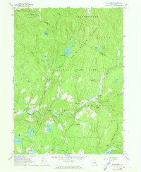
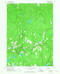
Editions of this 1966 Willowemoc Map
3 editions found
Other maps of this area

1901 · Margaretville
USGS Topo · 1:62,500

1904 · Margaretville
USGS Topo · 1:62,500

1910 · Neversink
USGS Topo · 1:62,500

1921 · Livingston Manor
USGS Topo · 1:62,500

1922 · Andes
USGS Topo · 1:62,500

1923 · Livingston Manor
USGS Topo · 1:62,500

1924 · Andes
USGS Topo · 1:62,500

1942 · Neversink
USGS Topo · 1:62,500

1943 · Monticello
USGS Topo · 1:125,000

1944 · Livingston Manor
USGS Topo · 1:62,500