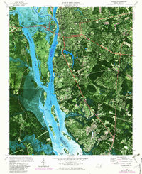
1970 Map of Wilmington
USGS Topo · Published 1980About this map
The Cape Fear River and Brunswick River define the maritime and industrial character of this coastal North Carolina hub during the 1970s. Wilmington serves as the focal point, showing a landscape shaped by both historic infrastructure and modern expansion. The presence of the State Ports Authority and the Seaboard Coast Line tracks underscore the importance of river-to-rail logistics, while the USS North Carolina Battleship Memorial stands prominently across from the city center.
Find a feature on this map
35 named features on this map. Tap any name to fly to it.
Don’t see what you’re looking for? This feature index may not catch every label — zoom into the map to look around manually.
Map Details
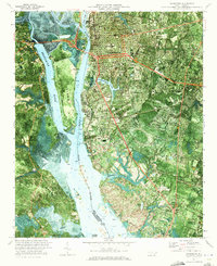
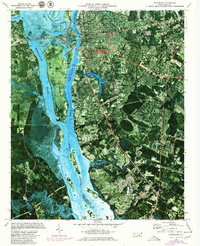
Editions of this 1970 Wilmington Map
3 editions found
Other maps of this area

1942 · Wilmington
USGS Topo · 1:62,500

1943 · Funston
USGS Topo · 1:24,000

1943 · Winnabow
USGS Topo · 1:24,000

1944 · Winnabow
USGS Topo · 1:31,680

1947 · Rocky Point
USGS Topo · 1:62,500

1948 · Wilmington
USGS Topo · 1:62,500

1950 · Winnabow
USGS Topo · 1:25,000

1953 · Florence
USGS Topo · 1:250,000

1953 · Beaufort
USGS Topo · 1:250,000

1954 · Florence
USGS Topo · 1:250,000