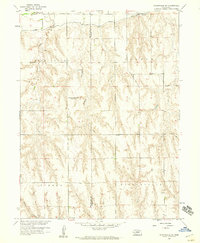
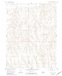
1958 Map of Wilsonville NW
USGS Topo · Published 1959About this map
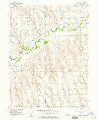
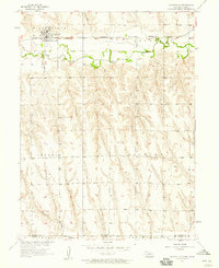
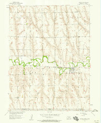
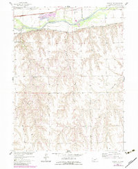
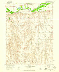
Bartley Canal cuts through the northern edge of this landscape, a significant infrastructure marker for the Department of the Interior's Missouri River Basin development program in the late 1950s. The terrain transitions from the lowlands of East Valley in the north through the dissected uplands of Logan, Tyrone, and Wilsonville. This 1958 field check documents a rural community in transition, specifically noting the closure of local education hubs such as East Valley Sch (Abandoned) and Plainview Sch No 62 (Abandoned). Genealogists and local historians will find the Tyrone Cem near the southern border, while the winding paths of Silver Creek and Johnson Creek define the natural drainage of the Red Willow and Furnas county line area. The map preserves the exact placement of the small settlement at Logan, providing a precise record of the regional habitation pattern before further 20th-century consolidation.
Find a feature on this map
13 named features on this map. Tap any name to fly to it.
Don’t see what you’re looking for? This feature index may not catch every label — zoom into the map to look around manually.
Map Details
Editions of this 1958 Wilsonville NW Map
2 editions found
Other maps of this area

1954 · McCook
USGS Topo · 1:250,000
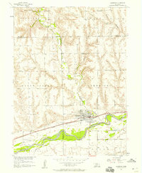
1956 · Cambridge
USGS Topo · 1:24,000
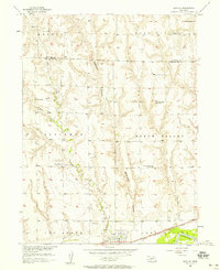
1956 · Bartley
USGS Topo · 1:24,000

1957 · McCook
USGS Topo · 1:250,000
1957 · Shippee
USGS Topo · 1:24,000
1957 · Wilsonville
USGS Topo · 1:24,000
1957 · Lebanon
USGS Topo · 1:24,000
1957 · Danbury NE
USGS Topo · 1:24,000

1958 · McCook
USGS Topo · 1:250,000
1958 · Danbury NE
USGS Topo · 1:24,000