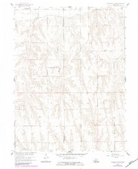
1958 Map of Wilsonville NW
USGS Topo · Published 1983About this map
The Red Willow and Furnas County line bisects this agricultural landscape as it appeared in the late 1950s, with updates from the early 1980s. The northern portion of the quadrangle is defined by the Bartley Canal, a vital piece of water infrastructure for the Missouri River Basin development. This rural Nebraska terrain is carved by notable drainage systems including Silver Creek and the strikingly named Bogus Canyon, which intersect the upland prairie.
Find a feature on this map
8 named features on this map. Tap any name to fly to it.
Don’t see what you’re looking for? This feature index may not catch every label — zoom into the map to look around manually.
Map Details
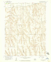
Editions of this 1958 Wilsonville NW Map
2 editions found
Other maps of this area

1954 · McCook
USGS Topo · 1:250,000

1956 · Cambridge
USGS Topo · 1:24,000

1956 · Bartley
USGS Topo · 1:24,000

1957 · McCook
USGS Topo · 1:250,000

1957 · Shippee
USGS Topo · 1:24,000
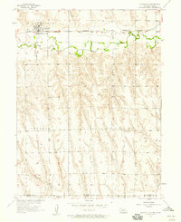
1957 · Wilsonville
USGS Topo · 1:24,000

1957 · Lebanon
USGS Topo · 1:24,000

1957 · Danbury NE
USGS Topo · 1:24,000

1958 · McCook
USGS Topo · 1:250,000

1958 · Danbury NE
USGS Topo · 1:24,000