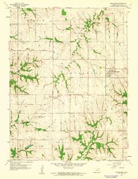
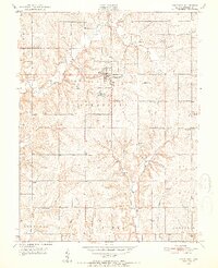
1959 Map of Winchester
USGS Topo · Published 1961About this map
Winchester serves as the primary hub of this eastern Kansas landscape, situated where the grid of Jefferson County farm roads meets several significant drainage systems. The terrain is defined by the winding paths of Crooked Creek and Honey Creek, which cut through the agricultural uplands of Jefferson and Oskaloosa townships. Smaller communities and railroad stops like Dunavant and Boyle appear as vital nodes in the late 1950s rural economy, providing local context for genealogists and family historians. Several country burying grounds, including Spring Grove Cem, Fairview Cem, and Plum Grove Cem, are preserved on the sheet, marking the locations of early area congregations. The land use remains heavily agricultural, though a small Quarry and the isolated Grayson Sch point to the decentralized nature of local industry and education during this period.
Find a feature on this map
18 named features on this map. Tap any name to fly to it.
Don’t see what you’re looking for? This feature index may not catch every label — zoom into the map to look around manually.
Map Details
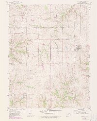
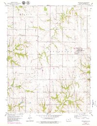
Editions of this 1959 Winchester Map
3 editions found
Other maps of this area

1886 · Oskaloosa
USGS Topo · 1:125,000

1888 · Oskaloosa
USGS Topo · 1:125,000

1894 · Oskaloosa
USGS Topo · 1:125,000

1950 · Kansas City
USGS Topo · 1:250,000

1950 · Mc Louth
USGS Topo · 1:24,000
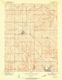
1951 · Mc Louth
USGS Topo · 1:24,000
1951 · Oskaloosa
USGS Topo · 1:24,000

1951 · Ozawkie
USGS Topo · 1:24,000

1954 · Kansas City
USGS Topo · 1:250,000

1956 · Kansas City
USGS Topo · 1:250,000