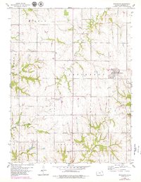
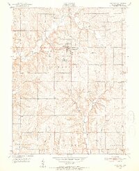
1959 Map of Winchester
USGS Topo · Published 1979About this map
Winchester stands as the primary hub in this portion of Jefferson County, showing the town's established grid and road network as it appeared in the late 1950s. The surrounding rural landscape is defined by its agricultural character and a network of named watercourses including Crooked Creek, Fishpond Creek, and Honey Creek. Smaller community clusters and rail-side stops like Boyle and Dunavant illustrate the historical settlement patterns of the region, where local commerce was closely tied to transportation and the land.
Find a feature on this map
20 named features on this map. Tap any name to fly to it.
Don’t see what you’re looking for? This feature index may not catch every label — zoom into the map to look around manually.
Map Details
Editions of this 1959 Winchester Map
3 editions found
Other maps of this area

1886 · Oskaloosa
USGS Topo · 1:125,000

1888 · Oskaloosa
USGS Topo · 1:125,000

1894 · Oskaloosa
USGS Topo · 1:125,000

1950 · Kansas City
USGS Topo · 1:250,000

1950 · Mc Louth
USGS Topo · 1:24,000
1951 · Mc Louth
USGS Topo · 1:24,000
1951 · Oskaloosa
USGS Topo · 1:24,000

1951 · Ozawkie
USGS Topo · 1:24,000

1954 · Kansas City
USGS Topo · 1:250,000

1956 · Kansas City
USGS Topo · 1:250,000