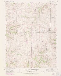
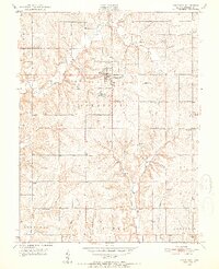
1959 Map of Winchester
USGS Topo · Published 1979About this map
Winchester serves as the primary hub of this Jefferson County landscape, shown here at the transition from the late 1950s into the revised reality of the late 1970s. The geography is defined by a dendritic network of waterways, including Crooked Creek and Fishpond Creek, which carve through the townships of Norton, Delaware, and Oskaloosa. These drainage patterns dictated early settlement and land use, with small communities like Boyle and Dunavant established along higher ground or near rail corridors.
Find a feature on this map
18 named features on this map. Tap any name to fly to it.
Don’t see what you’re looking for? This feature index may not catch every label — zoom into the map to look around manually.
Map Details
Editions of this 1959 Winchester Map
3 editions found
Other maps of this area

1886 · Oskaloosa
USGS Topo · 1:125,000

1888 · Oskaloosa
USGS Topo · 1:125,000

1894 · Oskaloosa
USGS Topo · 1:125,000

1950 · Kansas City
USGS Topo · 1:250,000

1950 · Mc Louth
USGS Topo · 1:24,000
1951 · Mc Louth
USGS Topo · 1:24,000
1951 · Oskaloosa
USGS Topo · 1:24,000

1951 · Ozawkie
USGS Topo · 1:24,000

1954 · Kansas City
USGS Topo · 1:250,000

1956 · Kansas City
USGS Topo · 1:250,000