
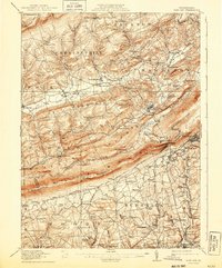
1916 Map of Wind Gap
USGS Topo · Published 1916About this map
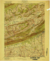
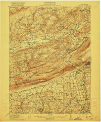
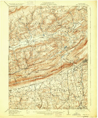
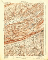
Blue Mountain serves as a massive natural divide across this 1916 landscape, punctuated by the dramatic geomorphic notch at Wind Gap. This gateway provides a vital passage for the Lehigh and New England railroad, linking the concentrated industry of Pen Argyl with the rural valleys to the north. The map documents a dense network of local education and commerce, from the Mexico School in the north to Sours Mills in the south, reflecting a period when small agrarian hubs like Brodheadsville and Saylorsburg were the centers of community life.
Find a feature on this map
106 named features on this map. Tap any name to fly to it.
Don’t see what you’re looking for? This feature index may not catch every label — zoom into the map to look around manually.
Map Details
Editions of this 1916 Wind Gap Map
7 editions found
Other maps of this area

1890 · Easton
USGS Topo · 1:62,500

1891 · Easton
USGS Topo · 1:62,500

1891 · Delaware Water Gap
USGS Topo · 1:62,500

1893 · Delaware Water Gap
USGS Topo · 1:62,500

1894 · Allentown
USGS Topo · 1:62,500

1902 · Slatington
USGS Topo · 1:62,500

1914 · Wind Gap
USGS Topo · 1:62,500

1919 · Pocono
USGS Topo · 1:62,500

1921 · Pocono
USGS Topo · 1:62,500

1922 · Mauch Chunk
USGS Topo · 1:62,500