
1952 Map of Wind Mesa
USGS Topo · Published 1953About this map
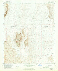
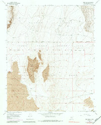
Isleta Pueblo Grant and Pajarito Grant territory dominates this mid-century topographic survey, where the physical landscape is defined by extensive volcanic formations. The central focus is Wind Mesa, a prominent landform marked by significant deposits of Lava and flanked by Blackbird Hill. This arid environment shows very little human development outside of a few essential landmarks like a Windmill and a solitary Quarry, suggesting a landscape utilized more for resource extraction and grazing than for settlement. At the southern edge, the At&Sf railroad provides a vital transportation link across the desert floor. Drainage patterns are indicated by ephemeral features like Cedar Wash, which cuts through the sandy terrain near Sandy Point. The map provides a precise look at the overlapping boundaries and the stark geological character of Bernalillo County before modern expansion reached these mesa lands.
Find a feature on this map
13 named features on this map. Tap any name to fly to it.
Don’t see what you’re looking for? This feature index may not catch every label — zoom into the map to look around manually.
Map Details
Editions of this 1952 Wind Mesa Map
3 editions found
Other maps of this area

1888 · Bernalillo
USGS Topo · 1:125,000

1889 · Albuquerque
USGS Topo · 1:125,000

1893 · Albuquerque
USGS Topo · 1:125,000

1934 · West Albuquerque
USGS Topo · 1:24,000

1938 · Albuquerque
USGS Topo · 1:62,500

1952 · Dalies
USGS Topo · 1:24,000

1952 · Rio Puerco
USGS Topo · 1:24,000

1952 · Los Lunas
USGS Topo · 1:24,000

1952 · Isleta
USGS Topo · 1:24,000

1952 · Dalies NW
USGS Topo · 1:24,000