
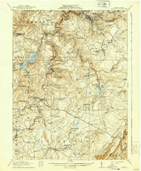
1916 Map of Windber
USGS Topo · Published 1916About this map
Windber anchors this industrial and agricultural corridor during a period of heavy bituminous coal mining and rapid development. The map details a landscape transition where the Allegheny Mountains meet the developed valleys of Stony Creek and Quemahoning Reservoir. Mining operations like Stauffer Mine No 3, Wilbur Mine, and Mc Gregor Mine appear alongside numeric collieries such as Number 36 and Number 43, illustrating the scale of resource extraction.
Find a feature on this map
110 named features on this map. Tap any name to fly to it.
Don’t see what you’re looking for? This feature index may not catch every label — zoom into the map to look around manually.
Map Details
Editions of this 1916 Windber Map
4 editions found

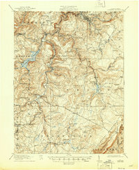
Other maps of this area

1902 · Ebensburg
USGS Topo · 1:62,500

1904 · Ebensburg
USGS Topo · 1:62,500

1904 · Johnstown
USGS Topo · 1:62,500

1907 · Johnstown
USGS Topo · 1:62,500

1908 · Bedford
USGS Topo · 1:62,500

1910 · Bedford
USGS Topo · 1:62,500

1913 · Somerset
USGS Topo · 1:62,500

1914 · Windber
USGS Topo · 1:62,500

1915 · Somerset
USGS Topo · 1:62,500

1920 · New Florence
USGS Topo · 1:62,500