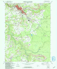
1971 Map of Windber
USGS Topo · Published 1994About this map
The industrial coal-mining landscape of Somerset and Cambria counties is revealed in this 1971 study, focusing on the borough of Windber. The map documents a significant era of transition, where active mining sites like Mine Dumps and Tipples sit alongside extensive areas marked as Reclaimed Strip Mines. This reclamation effort is particularly visible around Rummel and Scalp Level, showing the early 1970s push to manage the environmental footprint of Pennsylvania's bituminous coal fields.
Find a feature on this map
68 named features on this map. Tap any name to fly to it.
Don’t see what you’re looking for? This feature index may not catch every label — zoom into the map to look around manually.
Map Details
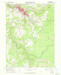
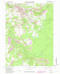
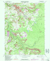
Editions of this 1971 Windber Map
4 editions found
Other maps of this area

1902 · Ebensburg
USGS Topo · 1:62,500

1904 · Ebensburg
USGS Topo · 1:62,500

1904 · Johnstown
USGS Topo · 1:62,500

1907 · Johnstown
USGS Topo · 1:62,500

1908 · Bedford
USGS Topo · 1:62,500

1910 · Bedford
USGS Topo · 1:62,500

1914 · Windber
USGS Topo · 1:62,500

1916 · Windber
USGS Topo · 1:62,500

1944 · Windber
USGS Topo · 1:62,500

1953 · Pittsburgh
USGS Topo · 1:250,000