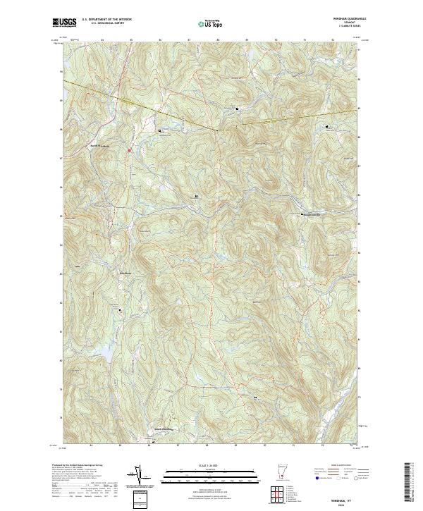
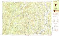
2024 Map of Windham
USGS Topo · Published 2024This historical map portrays the area of Windham in 2024, primarily covering Windham County as well as portions of Windsor County. Featuring a scale of 1:24000, this map provides a highly detailed snapshot of the terrain, roads, buildings, counties, and historical landmarks in the Windham region at the time. Published in 2024, it is the sole known edition of this map.
Map Details
Editions of this 2024 Windham Map
This is the sole edition of this map. No revisions or reprints were ever made.
Historical Maps of Andover Through Time
26 maps found
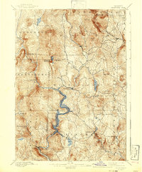
1889 Wilmington
Windham County, VT

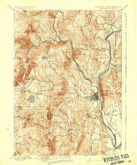
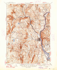
1891 Brattleboro
Windham County, VT

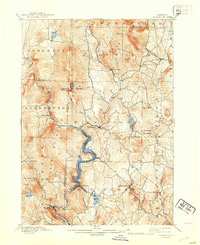
1891 Wilmington
Windham County, VT
1893 Brattleboro
Windham County, VT
1899 Wilmington
Windham County, VT

1932 Brattleboro
Windham County, VT
1935 Brattleboro
Windham County, VT

1943 Brattleboro
Windham County, VT
1954 Brattleboro
Windham County, VT
1954 Wilmington
Windham County, VT
1984 Brattleboro
Windham County, VT
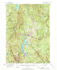
1984 Newfane
Windham County, VT
1986 Mount Snow
Windham County, VT
1986 Stratton Mtn
Windham County, VT
1986 West Dover
Windham County, VT
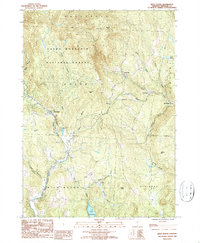
1997 Mount Snow
Windham County, VT
1997 West Dover
Windham County, VT
1997 Westminster West
Windham County, VT
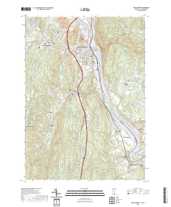
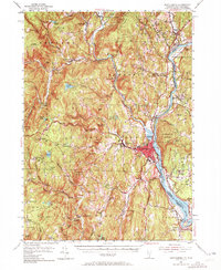
2024 Brattleboro
Windham County, VT
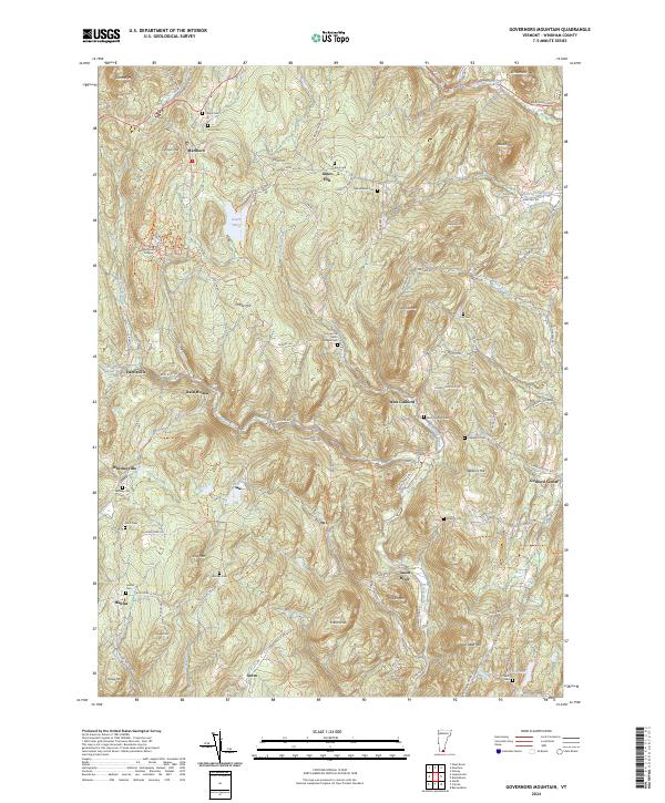
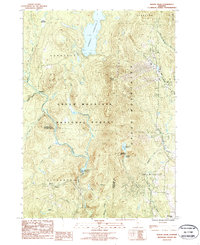
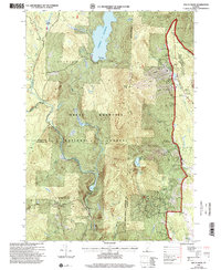
2024 Governors Mountain
Windham County, VT
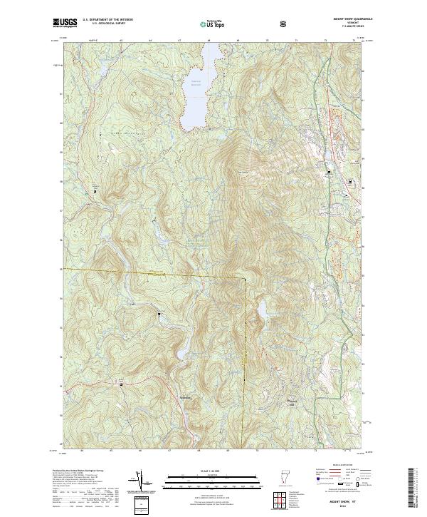
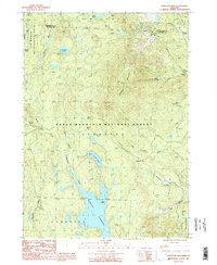
2024 Mount Snow
Windham County, VT
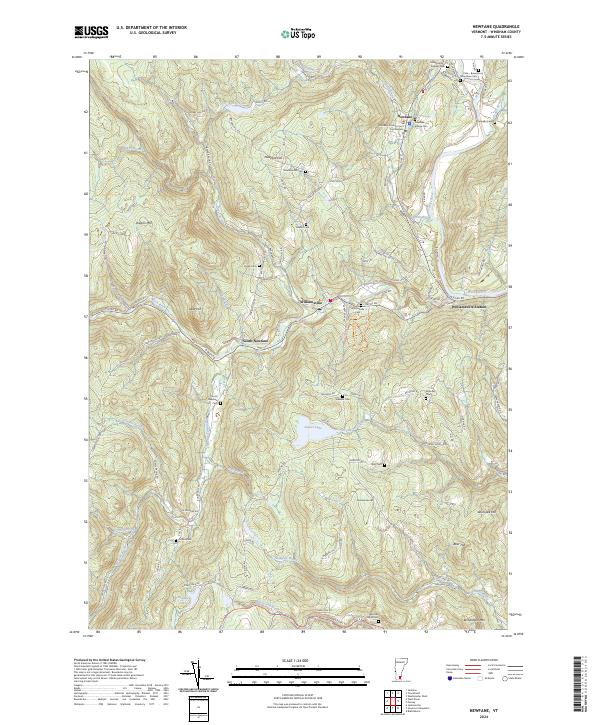
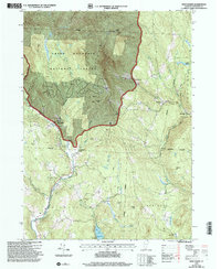
2024 Newfane
Windham County, VT
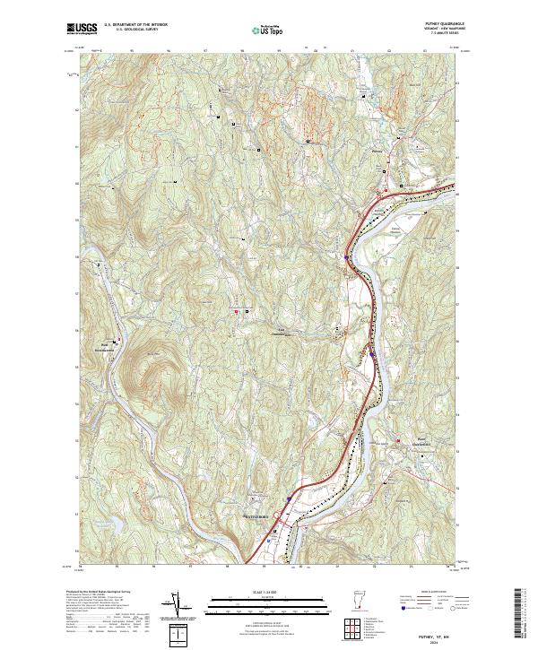
2024 Putney
Windham County, VT
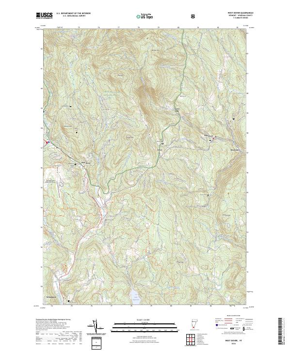
2024 West Dover
Windham County, VT
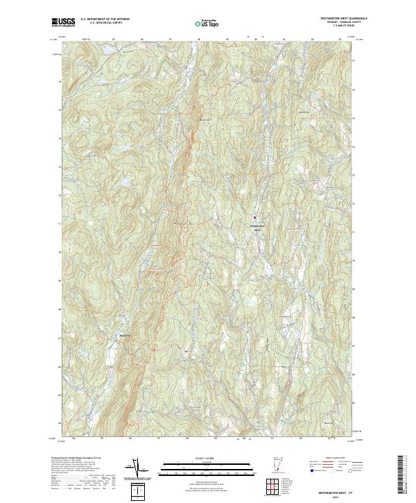
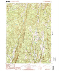
2024 Westminster West
Windham County, VT
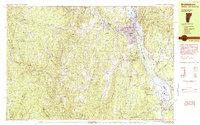
2024 Windham
Windham County, VT