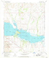
1964 Map of Windy Hill
USGS Topo · Published 1971About this map
Tonto National Monument anchors the southwestern portion of this mid-1960s study, preserving the ancient Lower Ruin and Upper Ruin near the rugged slopes of Honey Butte. The landscape is dominated by the reservoir of Theodore Roosevelt Lake, which flooded the Salt River canyon and created new shorelines at Windy Point and Steamboat Rock. These waters reshaped the regional economy from ranching and mining toward recreation, as seen in the development of the Windy Hill Recreation Area and Schoolhouse Point Recreation Area.
Find a feature on this map
35 named features on this map. Tap any name to fly to it.
Don’t see what you’re looking for? This feature index may not catch every label — zoom into the map to look around manually.
Map Details
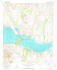
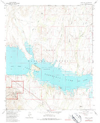
Editions of this 1964 Windy Hill Map
3 editions found
Other maps of this area

1907 · Roosevelt
USGS Topo · 1:125,000

1909 · Four Peaks
USGS Topo · 1:125,000

1912 · Roosevelt
USGS Topo · 1:125,000

1922 · Chrysotile
USGS Topo · 1:125,000

1949 · McFadden Peak
USGS Topo · 1:62,500

1949 · Rockinstraw Mtn
USGS Topo · 1:62,500

1950 · Rockinstraw Mtn
USGS Topo · 1:62,500

1950 · McFadden Peak
USGS Topo · 1:62,500

1954 · Mesa
USGS Topo · 1:250,000

1957 · Mesa
USGS Topo · 1:250,000