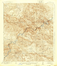
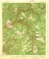
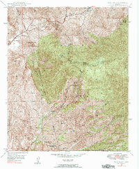
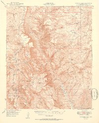
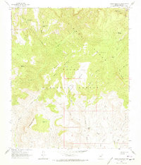
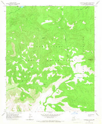
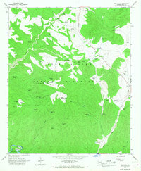
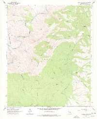
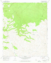
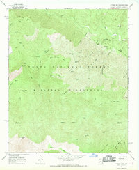
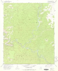
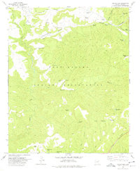
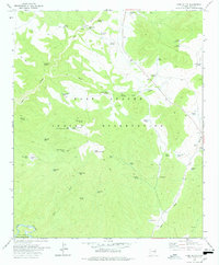
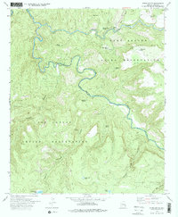
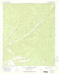
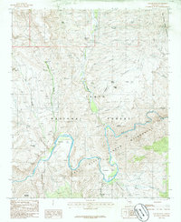
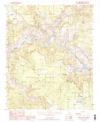
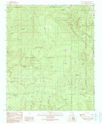
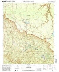
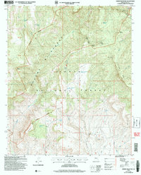
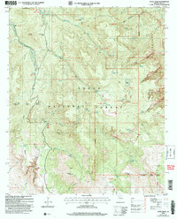
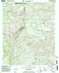
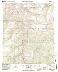
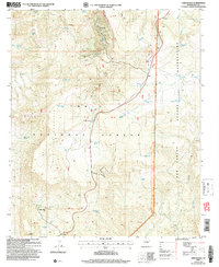
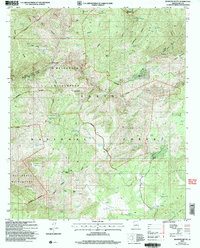
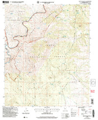
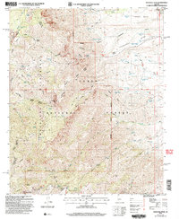
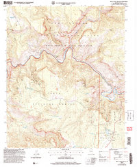
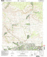
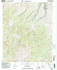
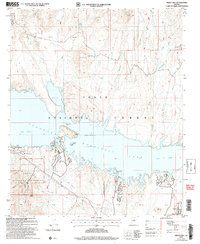
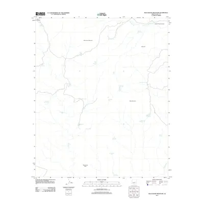
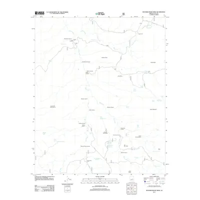
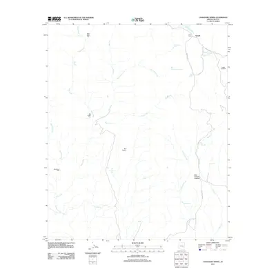
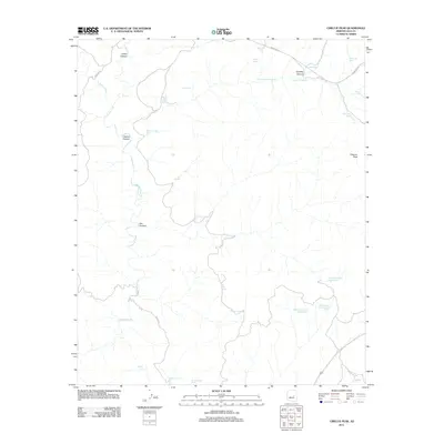
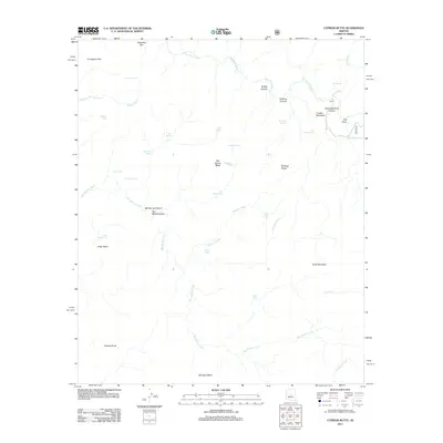
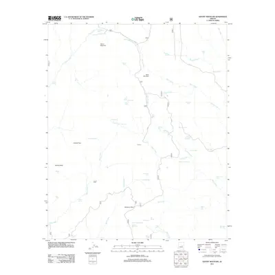
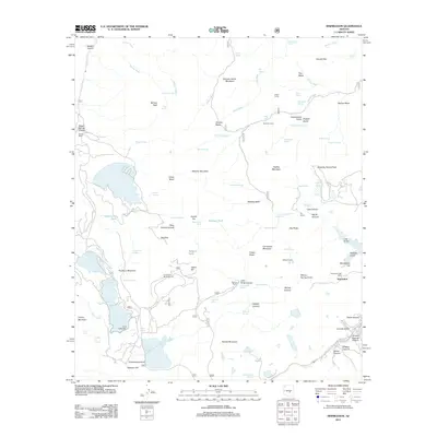
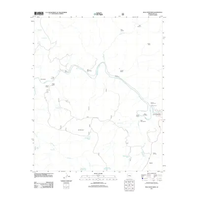
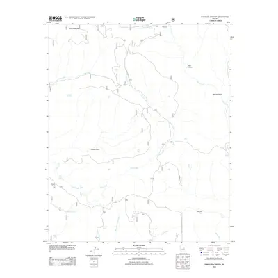
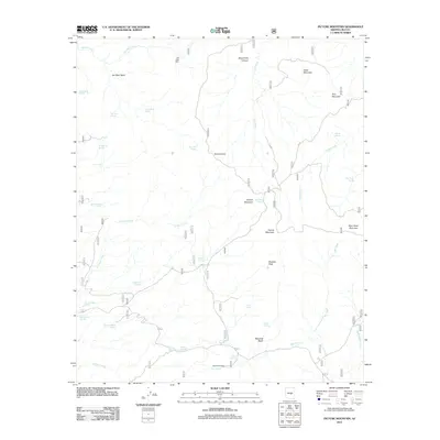
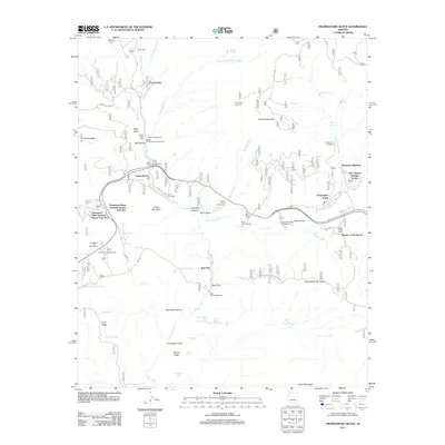
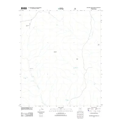
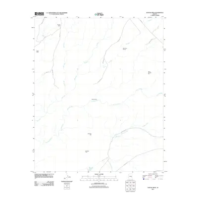
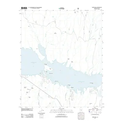
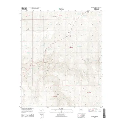
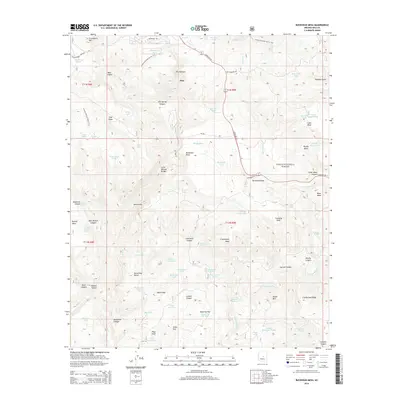
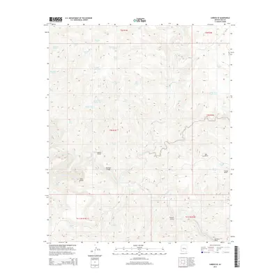
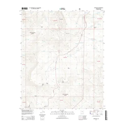
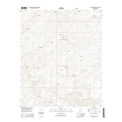
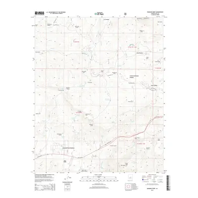
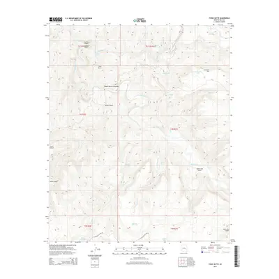
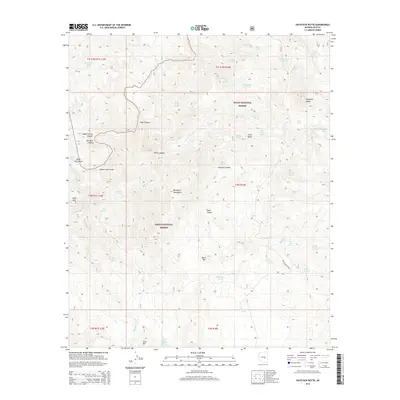
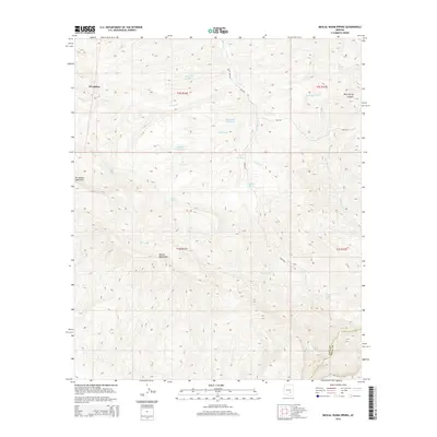
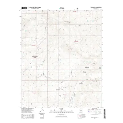
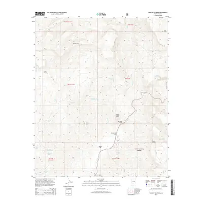
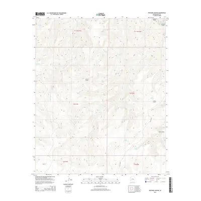
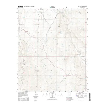
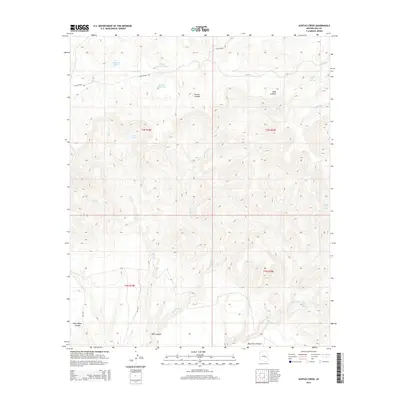
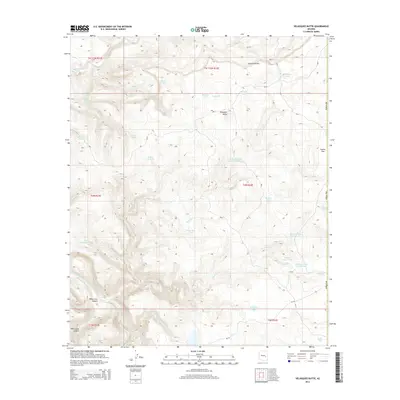
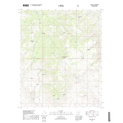
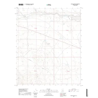
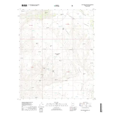
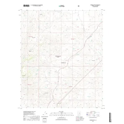
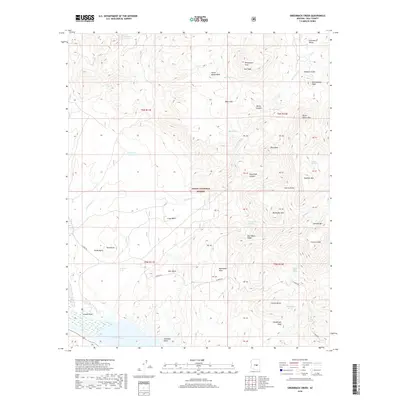
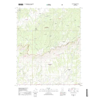
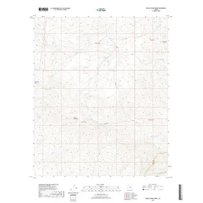
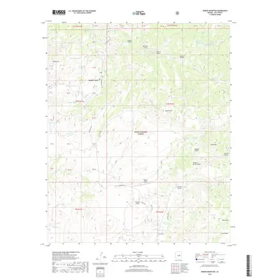
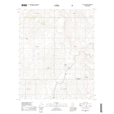
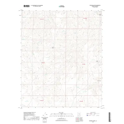
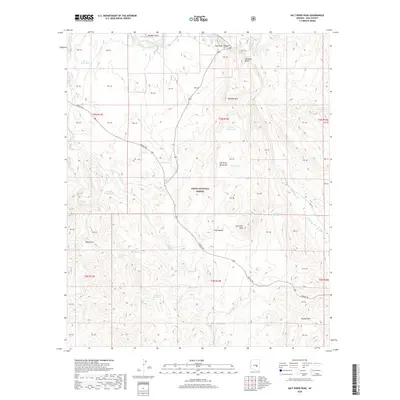
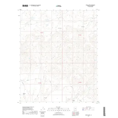
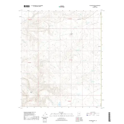
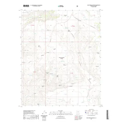
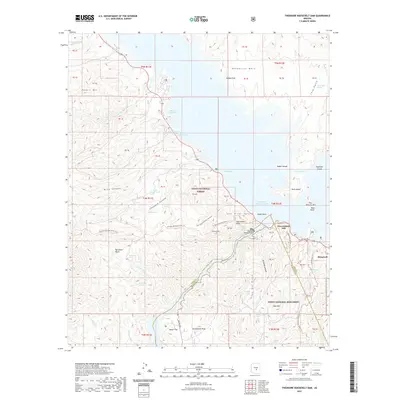
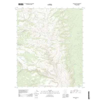
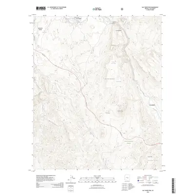
1964 Map of Windy Hill
USGS Topo · Published 1987About this map
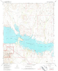
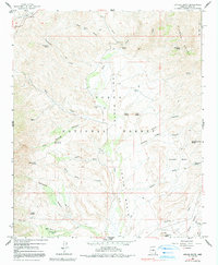
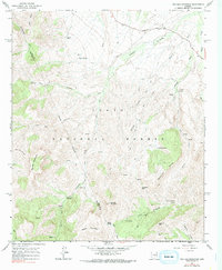
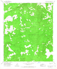
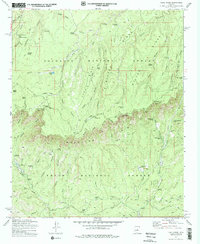
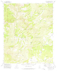
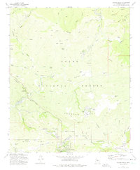
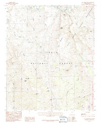
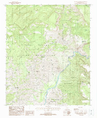
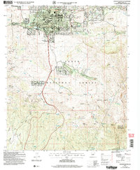
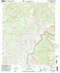
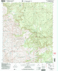
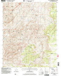
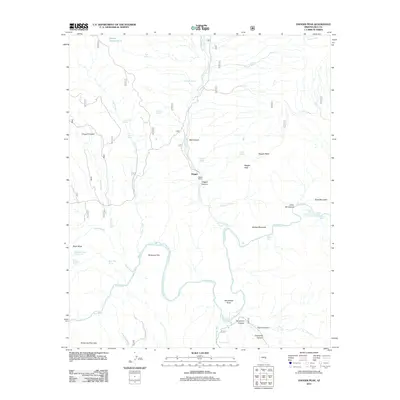
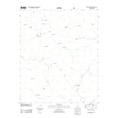
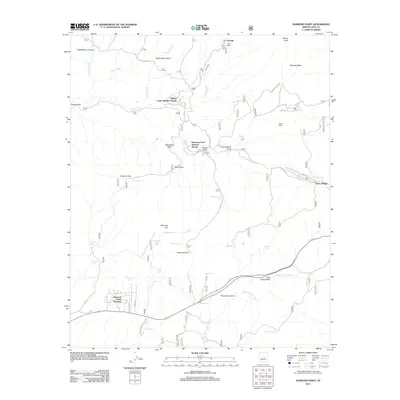
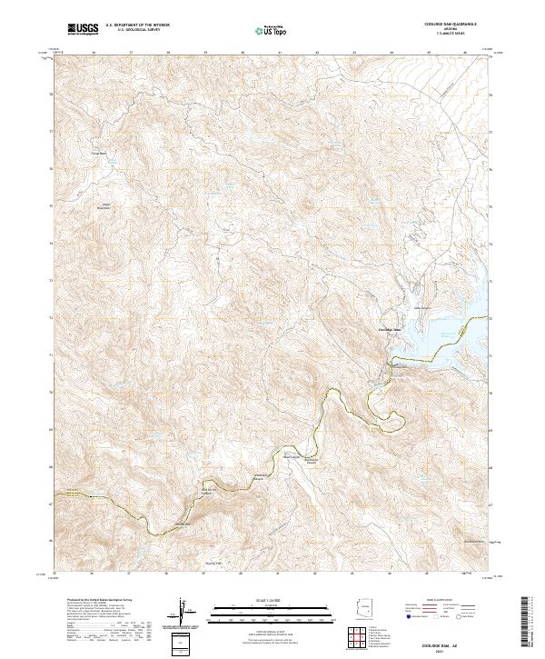
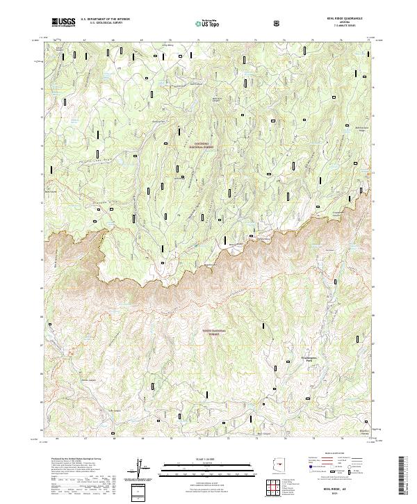
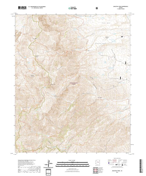
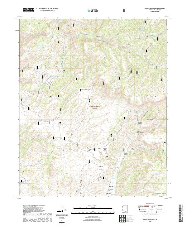
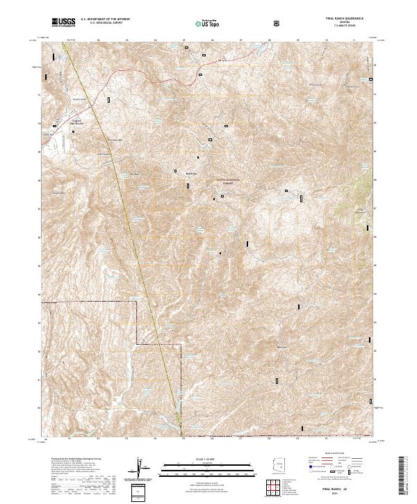
Tonto National Monument defines the southwestern corner of this Arizona landscape, preserving a rugged section of terrain near the southern shores of Theodore Roosevelt Lake (Salt River). The survey, captured in the mid-1960s, reveals a network of primitive roads and trails connecting remote landmarks such as Honey Butte and Steamboat Rock. The historical Apache Trail skirts the monument, providing access to this high-desert environment where water sources like Grapevine Spring and Canyon Spring were vital for local survival. To the north, the waters of the Salt River fill the reservoir, surrounding prominent landforms like Windy Hill and Windy Point. Evidence of early activity in the Tonto National Forest is visible through a scattered Cem and isolated Mine site near Armer Gulch, while a lone Landing Strip on the southern shore suggests the area's increasing accessibility for recreation and conservation.
Find a feature on this map
25 named features on this map. Tap any name to fly to it.
Don’t see what you’re looking for? This feature index may not catch every label — zoom into the map to look around manually.
Map Details
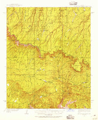
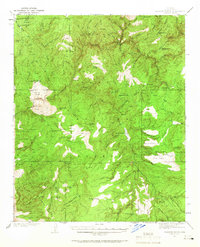
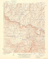
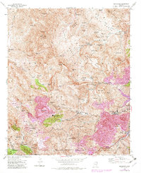
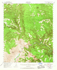
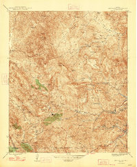
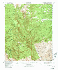
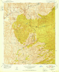
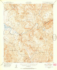
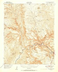
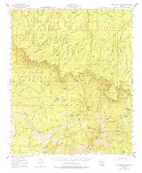
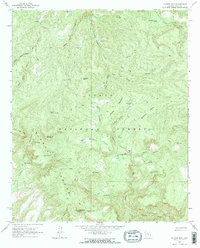
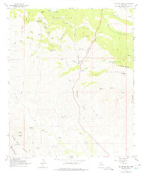
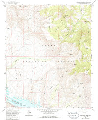
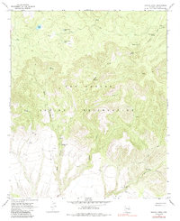
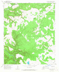
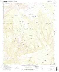
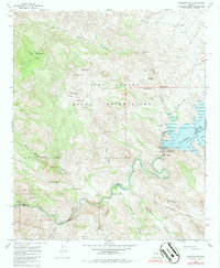
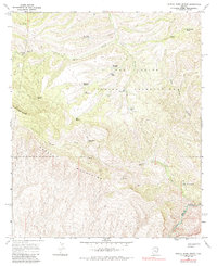
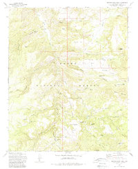
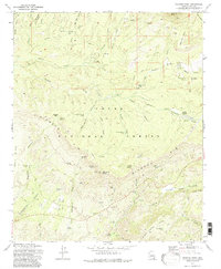
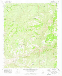
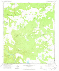
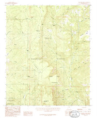
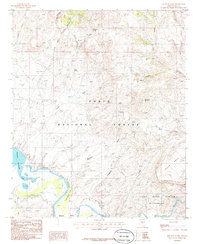
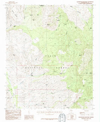
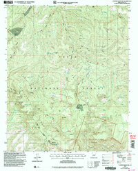
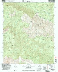
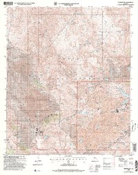
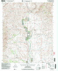
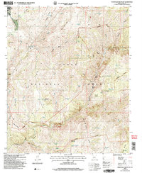
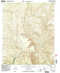
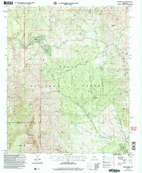
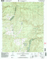
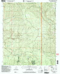
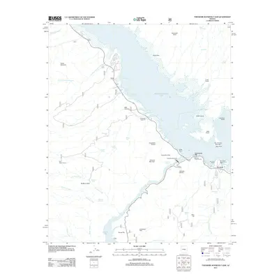
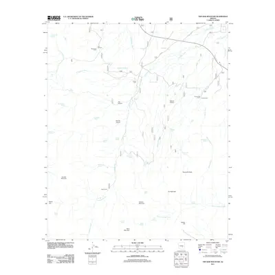
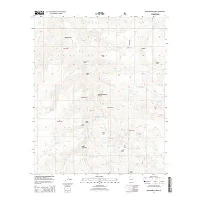
Editions of this 1964 Windy Hill Map
3 editions found
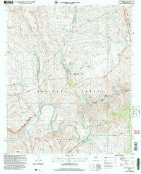
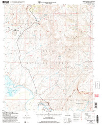
Historical Maps of Grapevine Through Time
408 maps found
1915 Christmas
Gila County, AZ
1917 Christmas
Gila County, AZ

1922 Chrysotile
Gila County, AZ
1934 Promontory Butte
Gila County, AZ
1937 Diamond Butte
Gila County, AZ
1939 Promontory Butte
Gila County, AZ
1943 Diamond Butte
Gila County, AZ
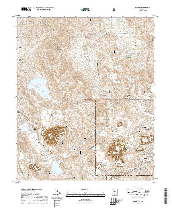
1945 Inspiration
Gila County, AZ
1946 Blue House Mtn
Gila County, AZ
1947 Inspiration
Gila County, AZ
1948 Pinal Ranch
Gila County, AZ
1949 McFadden Peak
Gila County, AZ
1949 Pinal Ranch
Gila County, AZ
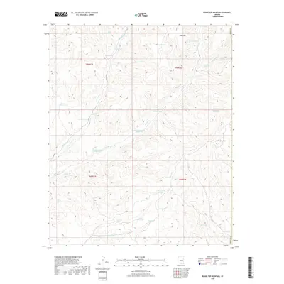
1949 Rockinstraw Mtn
Gila County, AZ
1950 McFadden Peak
Gila County, AZ
1950 Rockinstraw Mtn
Gila County, AZ
1951 Blue House Mtn
Gila County, AZ
1952 Promontory Butte
Gila County, AZ
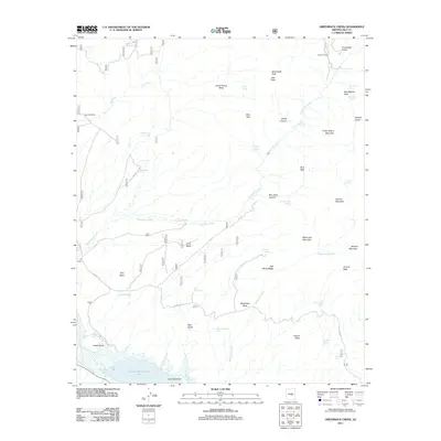
1964 Armer Mountain
Gila County, AZ
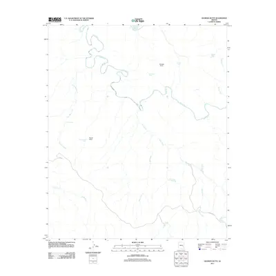
1964 Copper Mtn
Gila County, AZ
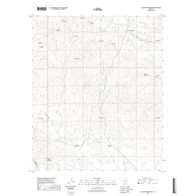
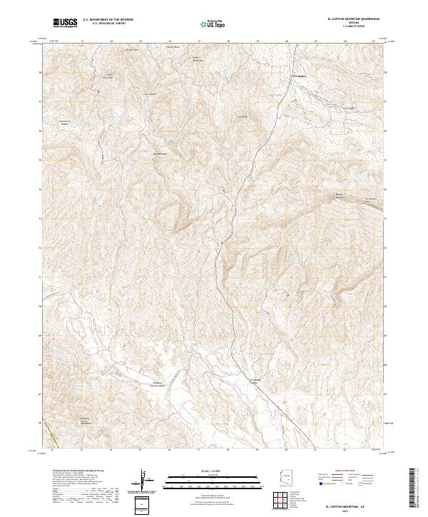
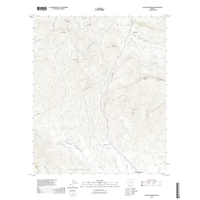
1964 El Capitan Mtn
Gila County, AZ
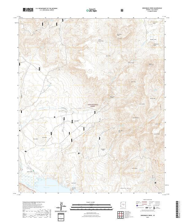
1964 Greenback Creek
Gila County, AZ
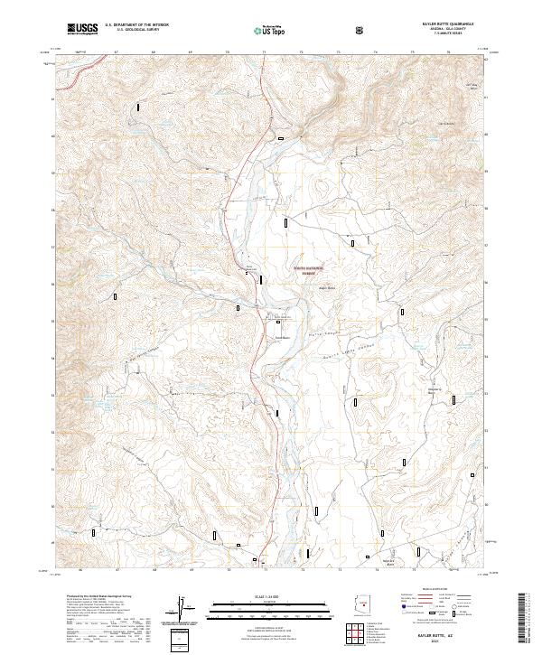
1964 Kayler Butte
Gila County, AZ
1964 Picture Mountain
Gila County, AZ
1964 Pinal Peak
Gila County, AZ
1964 Theodore Roosevelt Dam
Gila County, AZ
1964 Two Bar Mountain
Gila County, AZ
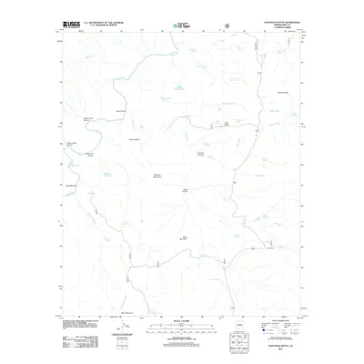
1964 Windy Hill
Gila County, AZ
1965 Bucket Mtn
Gila County, AZ
1965 Sontag Mesa
Gila County, AZ
1966 Beckers Butte
Gila County, AZ
1966 Brushy Canyon
Gila County, AZ
1966 Cammerman Wash
Gila County, AZ
1966 Carrizo SE
Gila County, AZ
1966 Cassadore Spring
Gila County, AZ
1966 Chiricahua Butte
Gila County, AZ
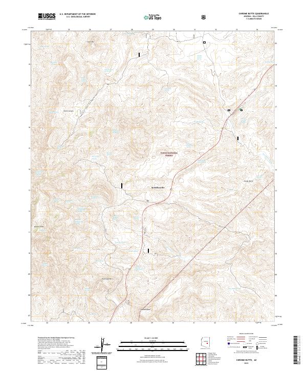
1966 Chrome Butte
Gila County, AZ
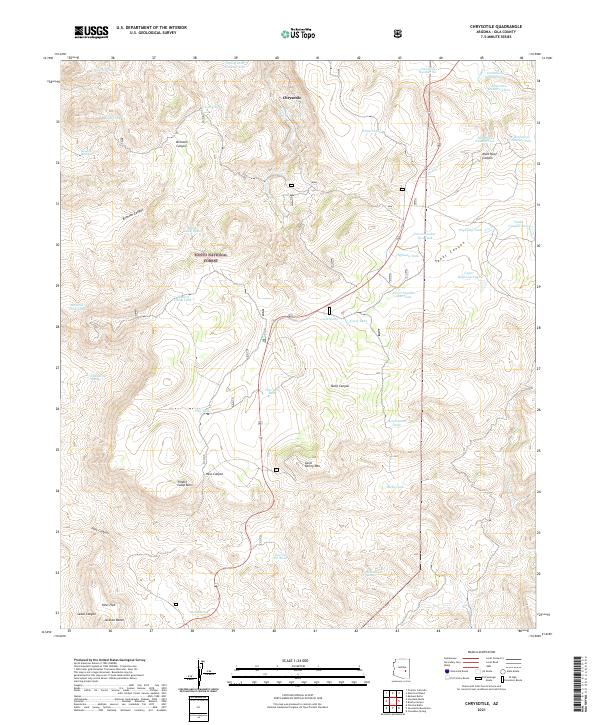
1966 Chrysotile
Gila County, AZ
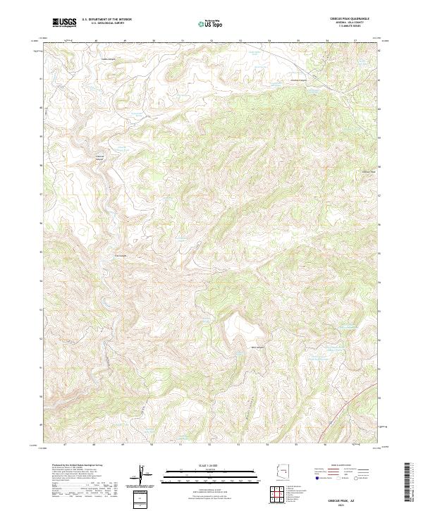
1966 Cibecue Peak
Gila County, AZ
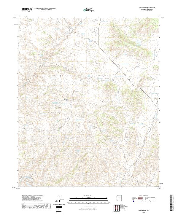
1966 Cone Butte
Gila County, AZ
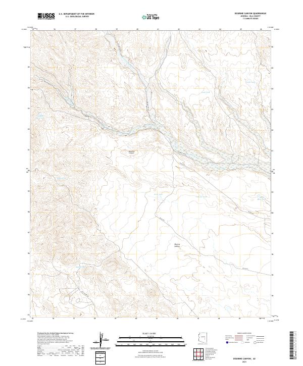
1966 Dourine Canyon
Gila County, AZ
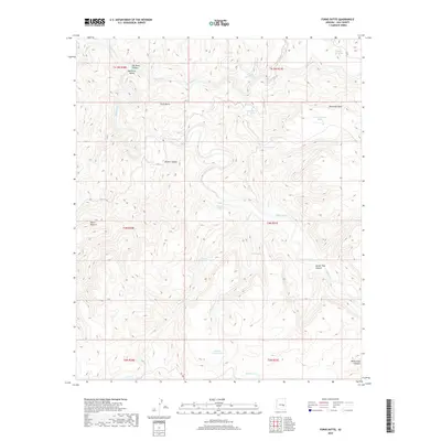
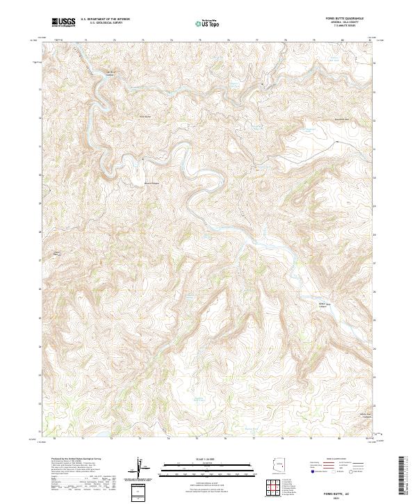
1966 Forks Butte
Gila County, AZ
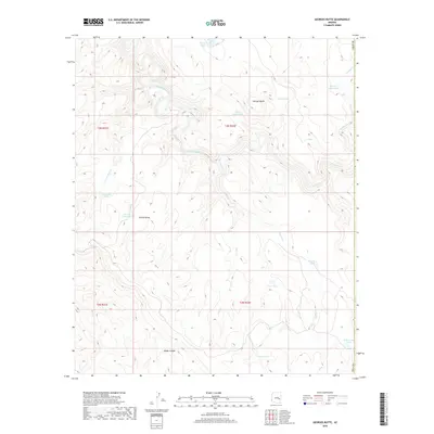
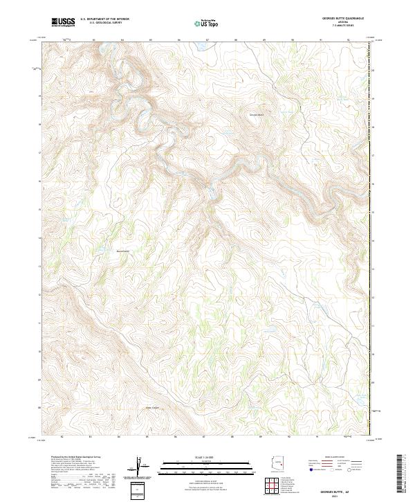
1966 Georges Butte
Gila County, AZ
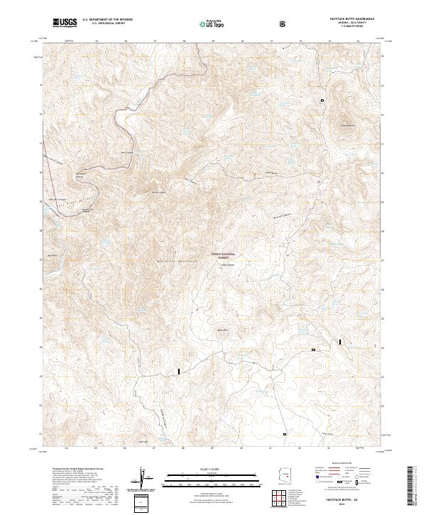
1966 Haystack Butte
Gila County, AZ
1966 Natural Corral
Gila County, AZ
1966 Popcorn Canyon
Gila County, AZ
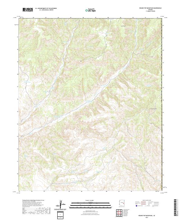
1966 Round Top Mtn
Gila County, AZ
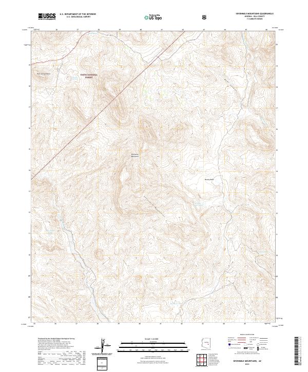
1966 Sevenmile Mts.
Gila County, AZ
1966 Sontag Creek
Gila County, AZ
1966 Velasquez Butte
Gila County, AZ
1967 Cane Springs Mountain
Gila County, AZ
1967 Cypress Butte
Gila County, AZ
1968 Coolidge Dam
Gila County, AZ
1968 Mescal Warm Spring
Gila County, AZ
1972 Buzzard Roost Mesa
Gila County, AZ
1972 Kehl Ridge
Gila County, AZ
1972 Mazatzal Peak
Gila County, AZ
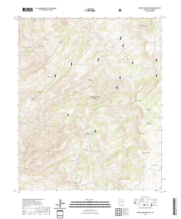
1972 Sheep Basin Mtn.
Gila County, AZ
1973 Buckhead Mesa
Gila County, AZ
1973 Diamond Butte
Gila County, AZ
1973 Diamond Point
Gila County, AZ
1973 McDonald Mtn
Gila County, AZ
1973 North Peak
Gila County, AZ
1973 Payson North
Gila County, AZ
1973 Payson South
Gila County, AZ
1973 Promontory Butte
Gila County, AZ
1978 Beckers Butte
Gila County, AZ
1978 Carrizo SE
Gila County, AZ
1978 Cibecue Peak
Gila County, AZ
1978 Cone Butte
Gila County, AZ
1978 Forks Butte
Gila County, AZ
1978 Round Top MTN
Gila County, AZ
1978 Velasquez Butte
Gila County, AZ
1985 Cane Springs Mountain
Gila County, AZ
1986 Aztec Peak
Gila County, AZ
1986 Dagger Peak
Gila County, AZ
1986 McFadden Peak
Gila County, AZ
1986 Meddler Wash
Gila County, AZ
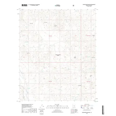
1986 Rockinstraw Mountain
Gila County, AZ
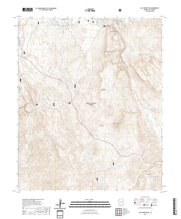
1986 Salt River Peak
Gila County, AZ
1986 Sombrero Peak
Gila County, AZ
1988 Blue House Mountain
Gila County, AZ
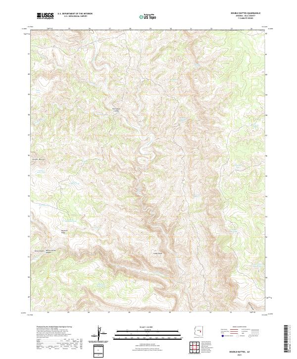
1988 Double Buttes
Gila County, AZ
1988 Mule Hoof Bend
Gila County, AZ
1988 Picacho Colorado
Gila County, AZ
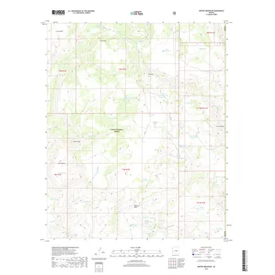
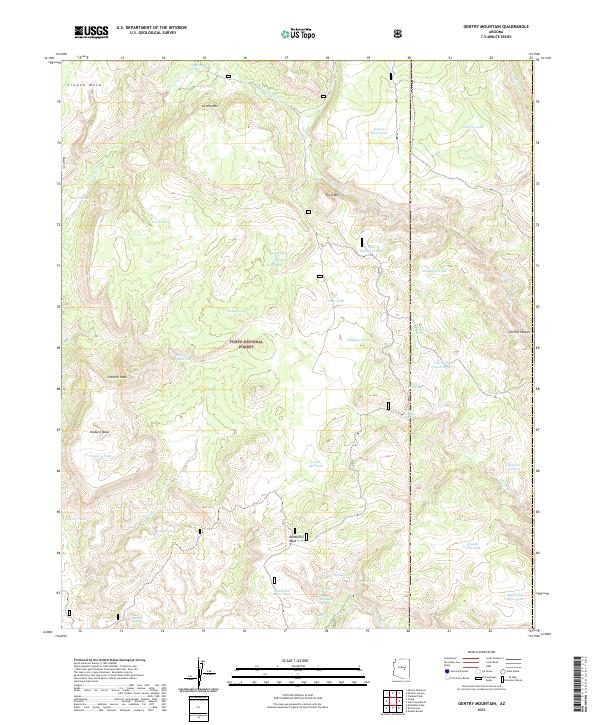
1990 Gentry Mountain
Gila County, AZ
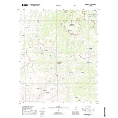
1990 Oxbow Mountain
Gila County, AZ
1990 Parallel Canyon
Gila County, AZ
1990 Woods Canyon
Gila County, AZ
1992 Seneca
Gila County, AZ
1998 Promontory Butte
Gila County, AZ
1998 Woods Canyon
Gila County, AZ
2004 Armer Mountain
Gila County, AZ
2004 Aztec Peak
Gila County, AZ
2004 Buckhead Mesa
Gila County, AZ
2004 Buzzard Roost Mesa
Gila County, AZ
2004 Cammerman Wash
Gila County, AZ
2004 Cane Springs Mountain
Gila County, AZ
2004 Chrome Butte
Gila County, AZ
2004 Chrysotile
Gila County, AZ
2004 Copper Mountain
Gila County, AZ
2004 Cypress Butte
Gila County, AZ
2004 Dagger Peak
Gila County, AZ
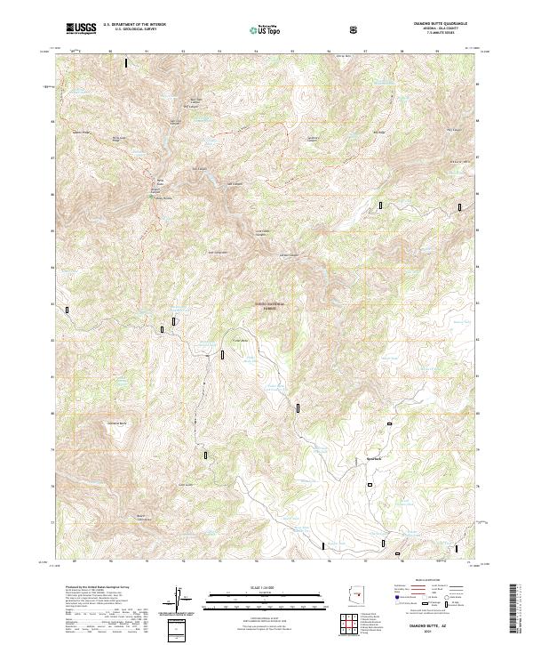
2004 Diamond Butte
Gila County, AZ
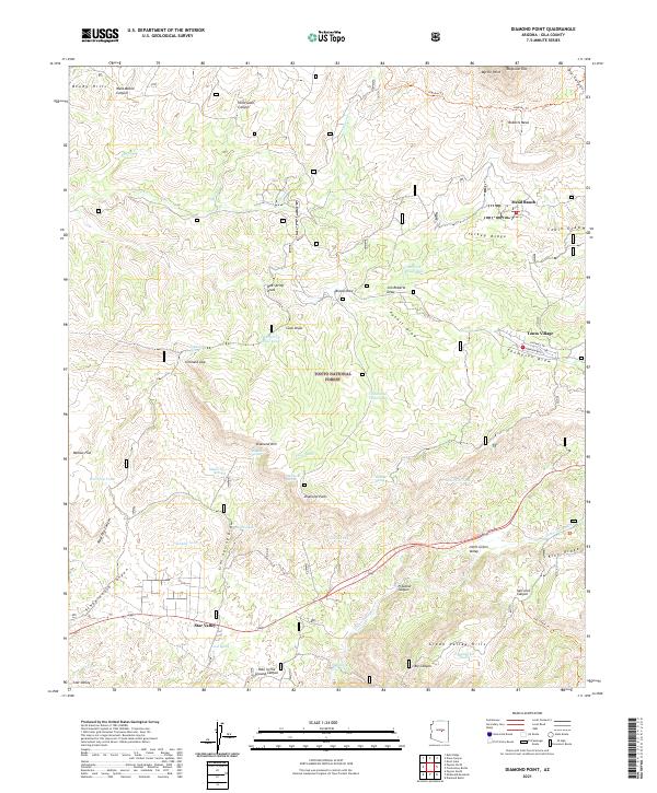
2004 Diamond Point
Gila County, AZ
2004 Gentry Mountain
Gila County, AZ
2004 Greenback Creek
Gila County, AZ
2004 Haystack Butte
Gila County, AZ
2004 Inspiration
Gila County, AZ
2004 Kayler Butte
Gila County, AZ
2004 Kehl Ridge
Gila County, AZ
2004 Mazatzal Peak
Gila County, AZ
2004 McDonald Mountain
Gila County, AZ
2004 McFadden Peak
Gila County, AZ
2004 Meddler Wash
Gila County, AZ
2004 Mule Hoof Bend
Gila County, AZ
2004 North Peak
Gila County, AZ
2004 Oxbow Mountain
Gila County, AZ
2004 Parallel Canyon
Gila County, AZ
2004 Payson North
Gila County, AZ
2004 Payson South
Gila County, AZ
2004 Picacho Colorado
Gila County, AZ
2004 Picture Mountain
Gila County, AZ
2004 Pinal Peak
Gila County, AZ
2004 Pinal Ranch
Gila County, AZ
2004 Rockinstraw Mountain
Gila County, AZ
2004 Salt River Peak
Gila County, AZ
2004 Sheep Basin Mountain
Gila County, AZ
2004 Sombrero Peak
Gila County, AZ
2004 Theodore Roosevelt Dam
Gila County, AZ
2004 Two Bar Mountain
Gila County, AZ
2004 Windy Hill
Gila County, AZ
2011 Armer Mountain
Gila County, AZ
2011 Aztec Peak
Gila County, AZ
2011 Beckers Butte
Gila County, AZ
2011 Blue House Mountain
Gila County, AZ
2011 Brushy Canyon
Gila County, AZ
2011 Bucket Mountain
Gila County, AZ
2011 Buckhead Mesa
Gila County, AZ
2011 Buzzard Roost Mesa
Gila County, AZ
2011 Cammerman Wash
Gila County, AZ
2011 Cane Springs Mountain
Gila County, AZ
2011 Carrizo SE
Gila County, AZ
2011 Cassadore Spring
Gila County, AZ
2011 Chiricahua Butte
Gila County, AZ
2011 Chrome Butte
Gila County, AZ
2011 Chrysotile
Gila County, AZ
2011 Cibecue Peak
Gila County, AZ
2011 Cone Butte
Gila County, AZ
2011 Coolidge Dam
Gila County, AZ
2011 Copper Mountain
Gila County, AZ
2011 Cypress Butte
Gila County, AZ
2011 Dagger Peak
Gila County, AZ
2011 Diamond Butte
Gila County, AZ
2011 Diamond Point
Gila County, AZ
2011 Double Buttes
Gila County, AZ
2011 Dourine Canyon
Gila County, AZ
2011 El Capitan Mountain
Gila County, AZ
2011 Forks Butte
Gila County, AZ
2011 Gentry Mountain
Gila County, AZ
2011 Georges Butte
Gila County, AZ
2011 Greenback Creek
Gila County, AZ
2011 Haystack Butte
Gila County, AZ
2011 Inspiration
Gila County, AZ
2011 Kayler Butte
Gila County, AZ
2011 Kehl Ridge
Gila County, AZ
2011 Mazatzal Peak
Gila County, AZ
2011 McDonald Mountain
Gila County, AZ
2011 McFadden Peak
Gila County, AZ
2011 Meddler Wash
Gila County, AZ
2011 Mescal Warm Spring
Gila County, AZ
2011 Mule Hoof Bend
Gila County, AZ
2011 Natural Corral
Gila County, AZ
2011 North Peak
Gila County, AZ
2011 Oxbow Mountain
Gila County, AZ
2011 Parallel Canyon
Gila County, AZ
2011 Payson North
Gila County, AZ
2011 Payson South
Gila County, AZ
2011 Picacho Colorado
Gila County, AZ
2011 Picture Mountain
Gila County, AZ
2011 Pinal Peak
Gila County, AZ
2011 Pinal Ranch
Gila County, AZ
2011 Popcorn Canyon
Gila County, AZ
2011 Promontory Butte
Gila County, AZ
2011 Rockinstraw Mountain
Gila County, AZ
2011 Round Top Mountain
Gila County, AZ
2011 Salt River Peak
Gila County, AZ
2011 Sevenmile Mountains
Gila County, AZ
2011 Sheep Basin Mountain
Gila County, AZ
2011 Sombrero Peak
Gila County, AZ
2011 Sontag Creek
Gila County, AZ
2011 Sontag Mesa
Gila County, AZ
2011 Theodore Roosevelt Dam
Gila County, AZ
2011 Two Bar Mountain
Gila County, AZ
2011 Velasquez Butte
Gila County, AZ
2011 Windy Hill
Gila County, AZ
2011 Woods Canyon
Gila County, AZ
2014 Armer Mountain
Gila County, AZ
2014 Aztec Peak
Gila County, AZ
2014 Beckers Butte
Gila County, AZ
2014 Blue House Mountain
Gila County, AZ
2014 Brushy Canyon
Gila County, AZ
2014 Bucket Mountain
Gila County, AZ
2014 Buckhead Mesa
Gila County, AZ
2014 Buzzard Roost Mesa
Gila County, AZ
2014 Cammerman Wash
Gila County, AZ
2014 Cane Springs Mountain
Gila County, AZ
2014 Carrizo SE
Gila County, AZ
2014 Cassadore Spring
Gila County, AZ
2014 Chiricahua Butte
Gila County, AZ
2014 Chrome Butte
Gila County, AZ
2014 Chrysotile
Gila County, AZ
2014 Cibecue Peak
Gila County, AZ
2014 Cone Butte
Gila County, AZ
2014 Coolidge Dam
Gila County, AZ
2014 Copper Mountain
Gila County, AZ
2014 Cypress Butte
Gila County, AZ
2014 Dagger Peak
Gila County, AZ
2014 Diamond Butte
Gila County, AZ
2014 Diamond Point
Gila County, AZ
2014 Double Buttes
Gila County, AZ
2014 Dourine Canyon
Gila County, AZ
2014 El Capitan Mountain
Gila County, AZ
2014 Forks Butte
Gila County, AZ
2014 Gentry Mountain
Gila County, AZ
2014 Georges Butte
Gila County, AZ
2014 Greenback Creek
Gila County, AZ
2014 Haystack Butte
Gila County, AZ
2014 Inspiration
Gila County, AZ
2014 Kayler Butte
Gila County, AZ
2014 Kehl Ridge
Gila County, AZ
2014 Mazatzal Peak
Gila County, AZ
2014 McDonald Mountain
Gila County, AZ
2014 McFadden Peak
Gila County, AZ
2014 Meddler Wash
Gila County, AZ
2014 Mescal Warm Spring
Gila County, AZ
2014 Mule Hoof Bend
Gila County, AZ
2014 Natural Corral
Gila County, AZ
2014 North Peak
Gila County, AZ
2014 Oxbow Mountain
Gila County, AZ
2014 Parallel Canyon
Gila County, AZ
2014 Payson North
Gila County, AZ
2014 Payson South
Gila County, AZ
2014 Picacho Colorado
Gila County, AZ
2014 Picture Mountain
Gila County, AZ
2014 Pinal Peak
Gila County, AZ
2014 Pinal Ranch
Gila County, AZ
2014 Popcorn Canyon
Gila County, AZ
2014 Promontory Butte
Gila County, AZ
2014 Rockinstraw Mountain
Gila County, AZ
2014 Round Top Mountain
Gila County, AZ
2014 Salt River Peak
Gila County, AZ
2014 Sevenmile Mountains
Gila County, AZ
2014 Sheep Basin Mountain
Gila County, AZ
2014 Sombrero Peak
Gila County, AZ
2014 Sontag Creek
Gila County, AZ
2014 Sontag Mesa
Gila County, AZ
2014 Theodore Roosevelt Dam
Gila County, AZ
2014 Two Bar Mountain
Gila County, AZ
2014 Velasquez Butte
Gila County, AZ
2014 Windy Hill
Gila County, AZ
2014 Woods Canyon
Gila County, AZ
2018 Armer Mountain
Gila County, AZ
2018 Aztec Peak
Gila County, AZ
2018 Beckers Butte
Gila County, AZ
2018 Blue House Mountain
Gila County, AZ
2018 Brushy Canyon
Gila County, AZ
2018 Bucket Mountain
Gila County, AZ
2018 Buckhead Mesa
Gila County, AZ
2018 Buzzard Roost Mesa
Gila County, AZ
2018 Cammerman Wash
Gila County, AZ
2018 Cane Springs Mountain
Gila County, AZ
2018 Carrizo SE
Gila County, AZ
2018 Cassadore Spring
Gila County, AZ
2018 Chiricahua Butte
Gila County, AZ
2018 Chrome Butte
Gila County, AZ
2018 Chrysotile
Gila County, AZ
2018 Cibecue Peak
Gila County, AZ
2018 Cone Butte
Gila County, AZ
2018 Coolidge Dam
Gila County, AZ
2018 Copper Mountain
Gila County, AZ
2018 Cypress Butte
Gila County, AZ
2018 Dagger Peak
Gila County, AZ
2018 Diamond Butte
Gila County, AZ
2018 Diamond Point
Gila County, AZ
2018 Double Buttes
Gila County, AZ
2018 Dourine Canyon
Gila County, AZ
2018 El Capitan Mountain
Gila County, AZ
2018 Forks Butte
Gila County, AZ
2018 Gentry Mountain
Gila County, AZ
2018 Georges Butte
Gila County, AZ
2018 Greenback Creek
Gila County, AZ
2018 Haystack Butte
Gila County, AZ
2018 Inspiration
Gila County, AZ
2018 Kayler Butte
Gila County, AZ
2018 Kehl Ridge
Gila County, AZ
2018 Mazatzal Peak
Gila County, AZ

2018 McDonald Mountain
Gila County, AZ
2018 McFadden Peak
Gila County, AZ
2018 Meddler Wash
Gila County, AZ
2018 Mescal Warm Spring
Gila County, AZ
2018 Mule Hoof Bend
Gila County, AZ
2018 Natural Corral
Gila County, AZ
2018 North Peak
Gila County, AZ
2018 Oxbow Mountain
Gila County, AZ
2018 Parallel Canyon
Gila County, AZ
2018 Payson North
Gila County, AZ
2018 Payson South
Gila County, AZ
2018 Picacho Colorado
Gila County, AZ
2018 Picture Mountain
Gila County, AZ
2018 Pinal Peak
Gila County, AZ
2018 Pinal Ranch
Gila County, AZ
2018 Popcorn Canyon
Gila County, AZ
2018 Promontory Butte
Gila County, AZ
2018 Rockinstraw Mountain
Gila County, AZ
2018 Round Top Mountain
Gila County, AZ
2018 Salt River Peak
Gila County, AZ
2018 Sevenmile Mountains
Gila County, AZ
2018 Sheep Basin Mountain
Gila County, AZ
2018 Sombrero Peak
Gila County, AZ
2018 Sontag Creek
Gila County, AZ
2018 Sontag Mesa
Gila County, AZ
2018 Theodore Roosevelt Dam
Gila County, AZ
2018 Two Bar Mountain
Gila County, AZ
2018 Velasquez Butte
Gila County, AZ
2018 Windy Hill
Gila County, AZ
2018 Woods Canyon
Gila County, AZ
2021 Armer Mountain
Gila County, AZ
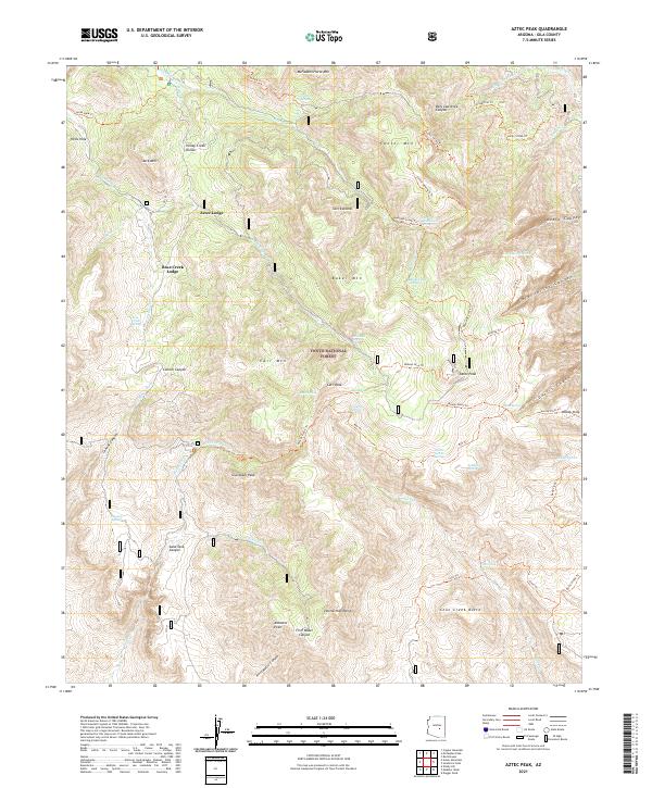
2021 Aztec Peak
Gila County, AZ
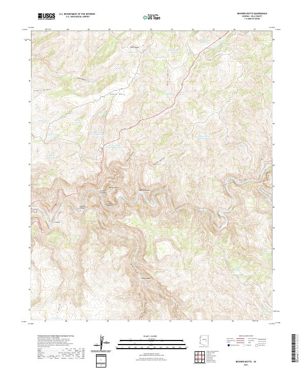
2021 Beckers Butte
Gila County, AZ
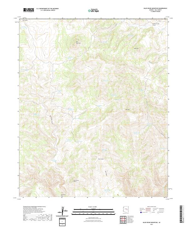
2021 Blue House Mountain
Gila County, AZ
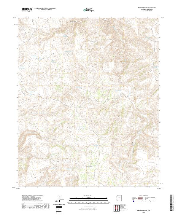
2021 Brushy Canyon
Gila County, AZ
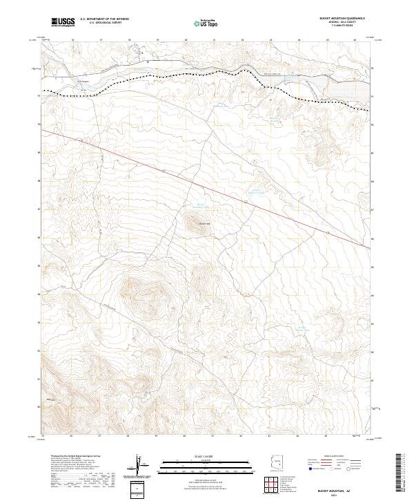
2021 Bucket Mountain
Gila County, AZ
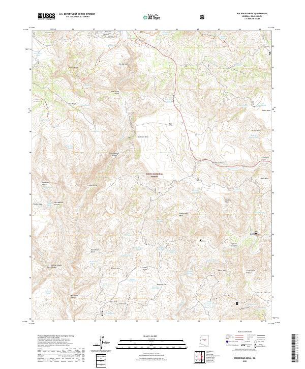
2021 Buckhead Mesa
Gila County, AZ
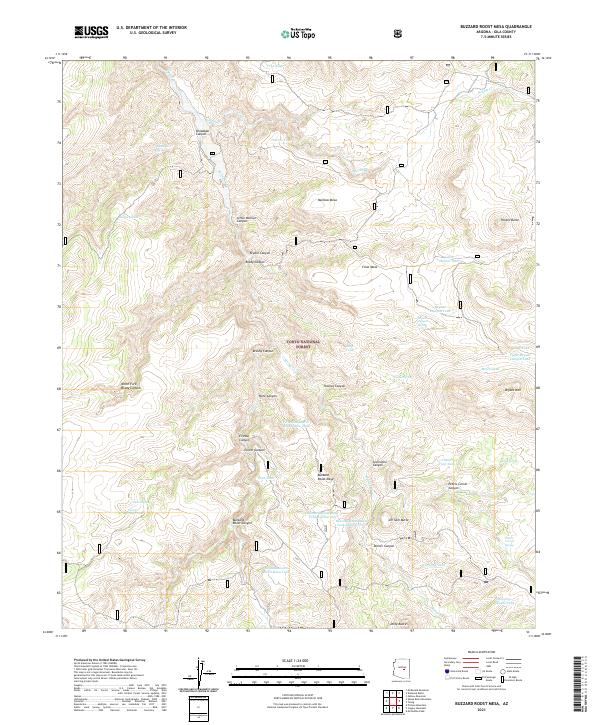
2021 Buzzard Roost Mesa
Gila County, AZ
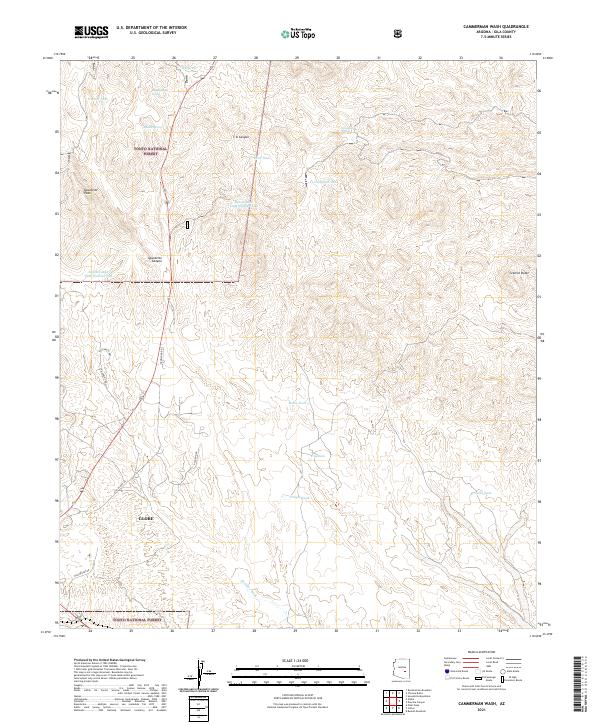
2021 Cammerman Wash
Gila County, AZ
2021 Cane Springs Mountain
Gila County, AZ
2021 Carrizo SE
Gila County, AZ
2021 Cassadore Spring
Gila County, AZ
2021 Chiricahua Butte
Gila County, AZ
2021 Chrome Butte
Gila County, AZ
2021 Chrysotile
Gila County, AZ
2021 Cibecue Peak
Gila County, AZ
2021 Cone Butte
Gila County, AZ
2021 Coolidge Dam
Gila County, AZ
2021 Copper Mountain
Gila County, AZ
2021 Cypress Butte
Gila County, AZ
2021 Dagger Peak
Gila County, AZ
2021 Diamond Butte
Gila County, AZ
2021 Diamond Point
Gila County, AZ
2021 Double Buttes
Gila County, AZ
2021 Dourine Canyon
Gila County, AZ
2021 El Capitan Mountain
Gila County, AZ
2021 Forks Butte
Gila County, AZ
2021 Gentry Mountain
Gila County, AZ
2021 Georges Butte
Gila County, AZ
2021 Greenback Creek
Gila County, AZ
2021 Haystack Butte
Gila County, AZ
2021 Inspiration
Gila County, AZ
2021 Kayler Butte
Gila County, AZ
2021 Kehl Ridge
Gila County, AZ
2021 Mazatzal Peak
Gila County, AZ
2021 McDonald Mountain
Gila County, AZ
2021 McFadden Peak
Gila County, AZ
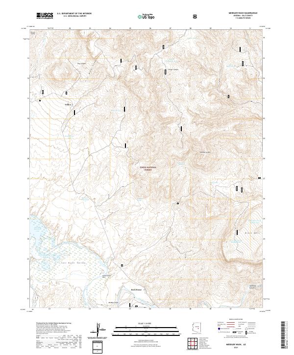
2021 Meddler Wash
Gila County, AZ
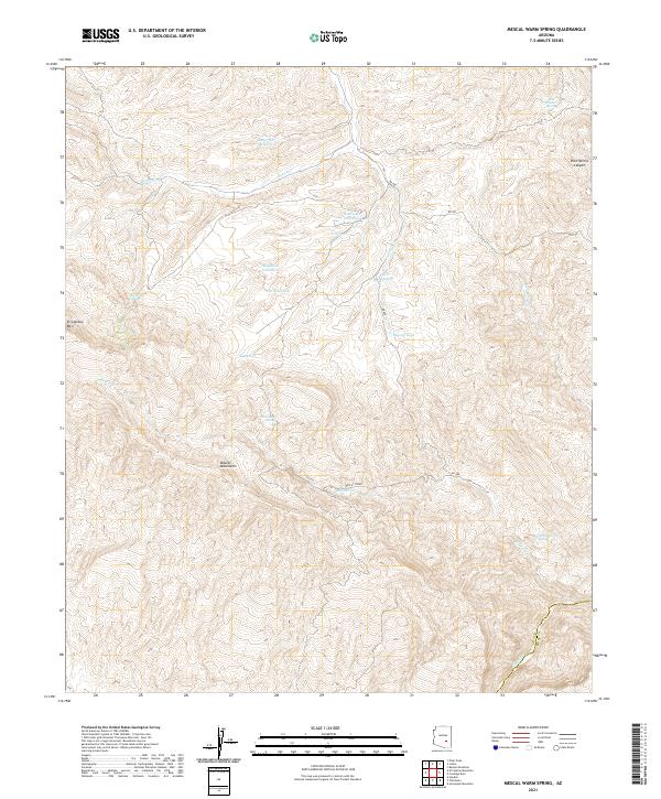
2021 Mescal Warm Spring
Gila County, AZ
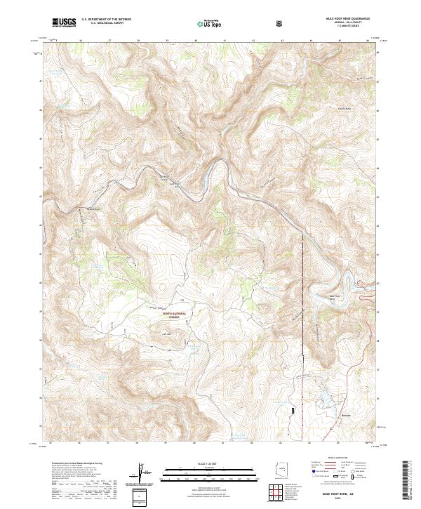
2021 Mule Hoof Bend
Gila County, AZ
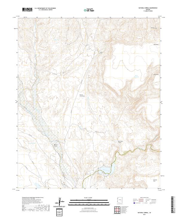
2021 Natural Corral
Gila County, AZ
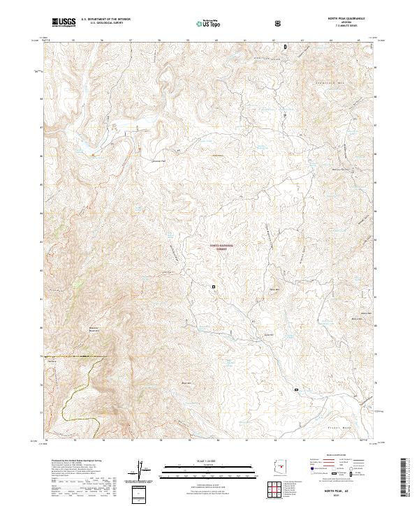
2021 North Peak
Gila County, AZ
2021 Oxbow Mountain
Gila County, AZ
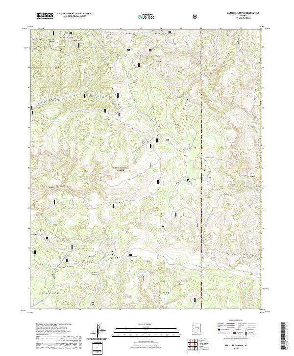
2021 Parallel Canyon
Gila County, AZ
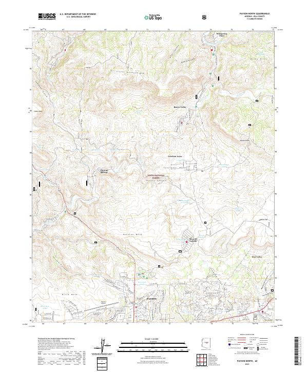
2021 Payson North
Gila County, AZ
2021 Payson South
Gila County, AZ
2021 Picacho Colorado
Gila County, AZ
2021 Picture Mountain
Gila County, AZ
2021 Pinal Peak
Gila County, AZ
2021 Pinal Ranch
Gila County, AZ
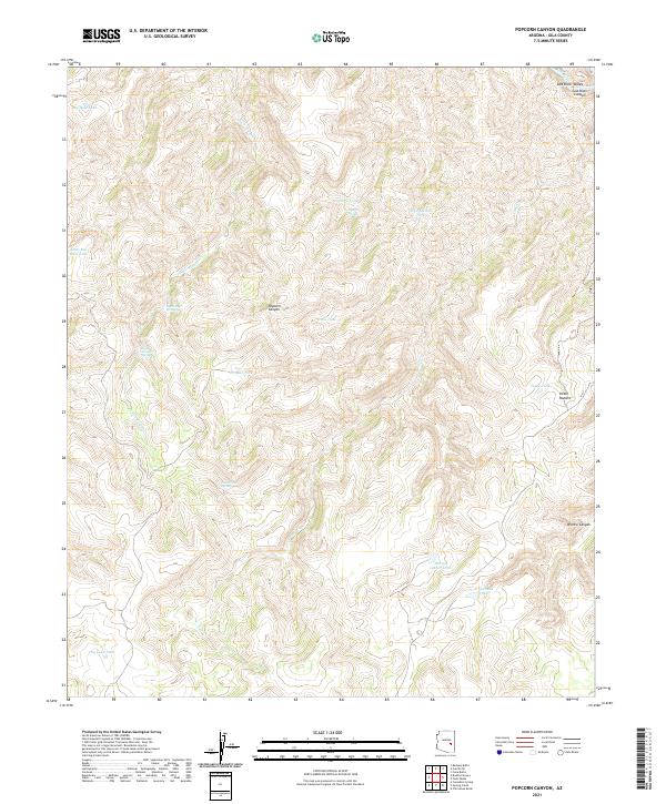
2021 Popcorn Canyon
Gila County, AZ
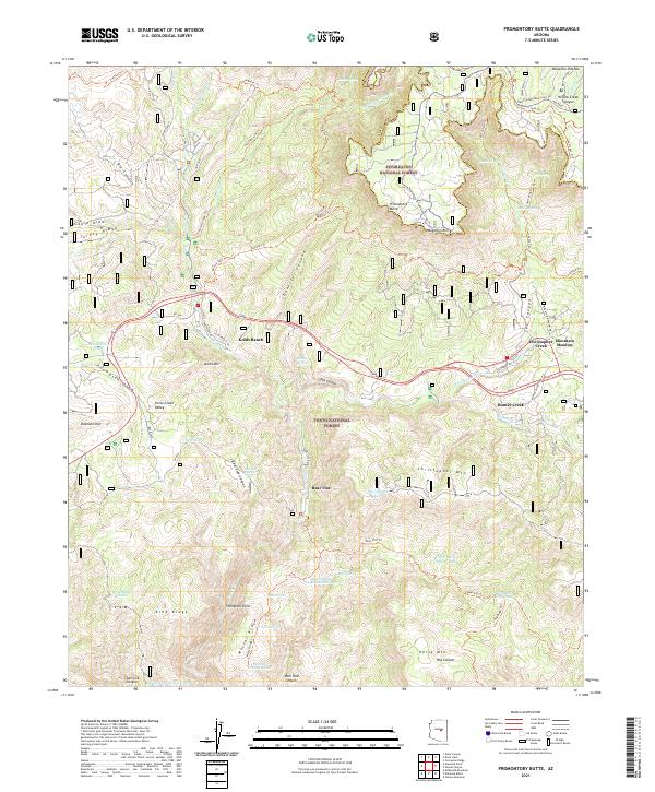
2021 Promontory Butte
Gila County, AZ
2021 Rockinstraw Mountain
Gila County, AZ
2021 Round Top Mountain
Gila County, AZ
2021 Salt River Peak
Gila County, AZ
2021 Sevenmile Mountains
Gila County, AZ
2021 Sheep Basin Mountain
Gila County, AZ
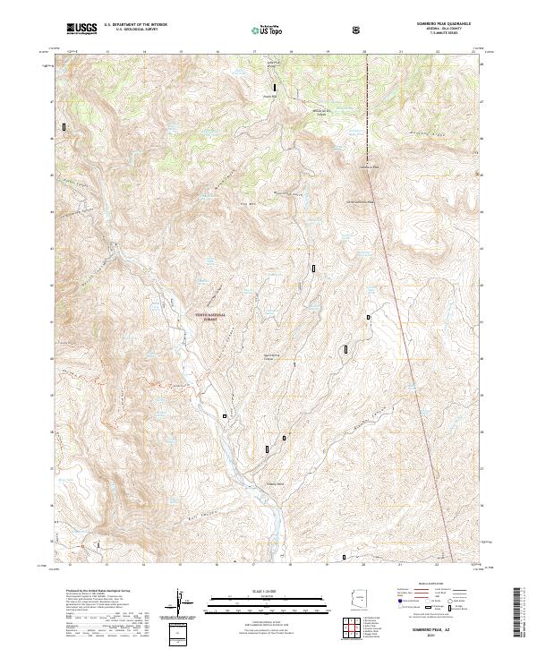
2021 Sombrero Peak
Gila County, AZ
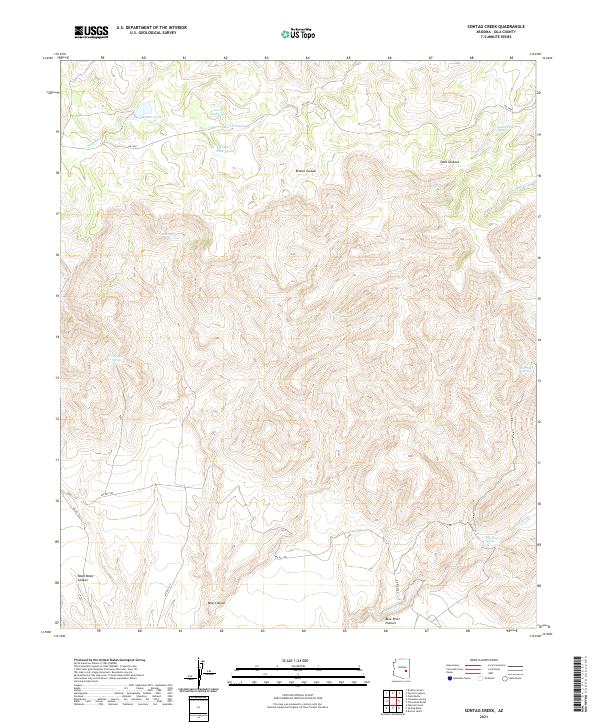
2021 Sontag Creek
Gila County, AZ
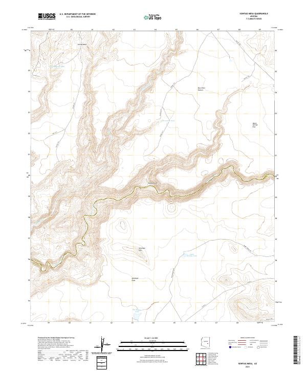
2021 Sontag Mesa
Gila County, AZ
2021 Theodore Roosevelt Dam
Gila County, AZ

2021 Two Bar Mountain
Gila County, AZ
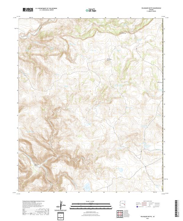
2021 Velasquez Butte
Gila County, AZ
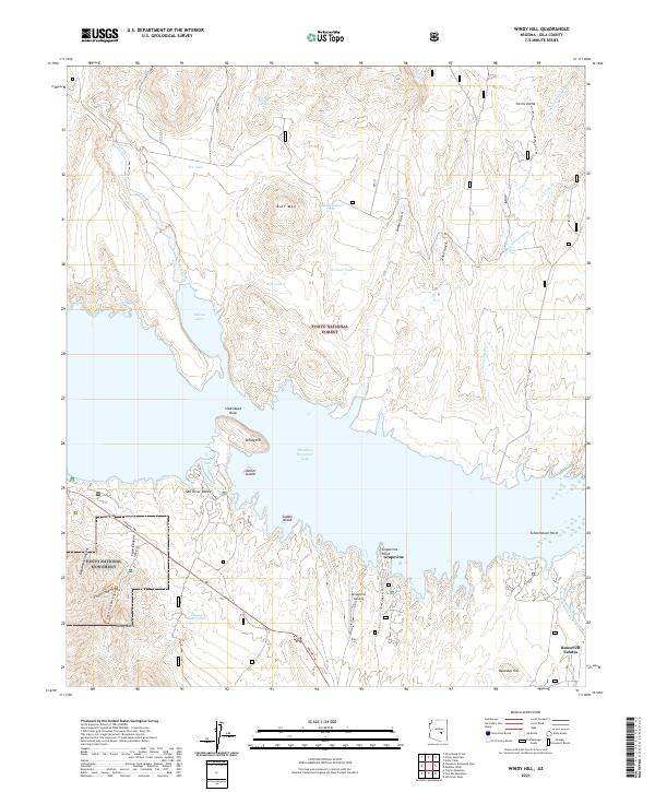
2021 Windy Hill
Gila County, AZ
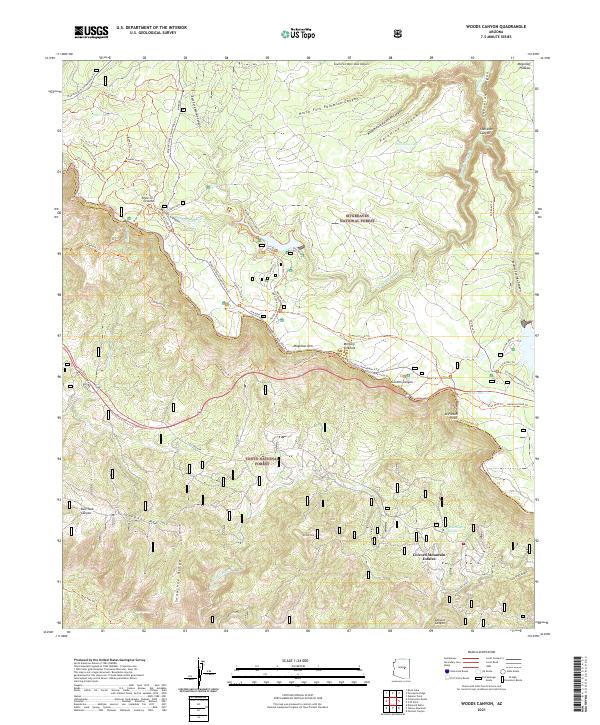
2021 Woods Canyon
Gila County, AZ
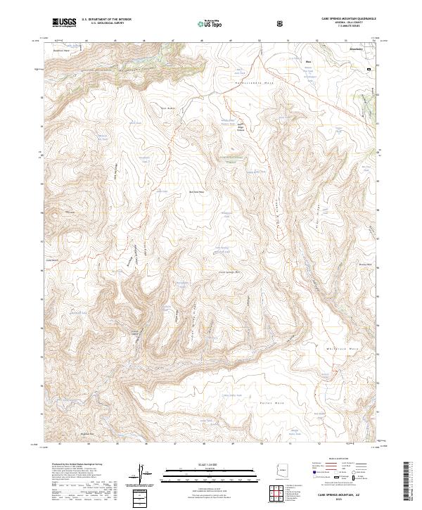
2023 Cane Springs Mountain
Gila County, AZ
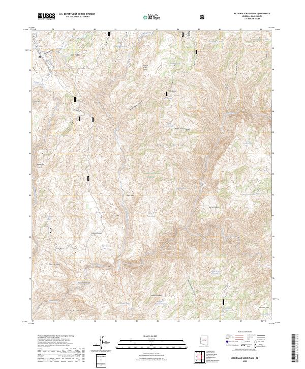
2023 McDonald Mountain
Gila County, AZ
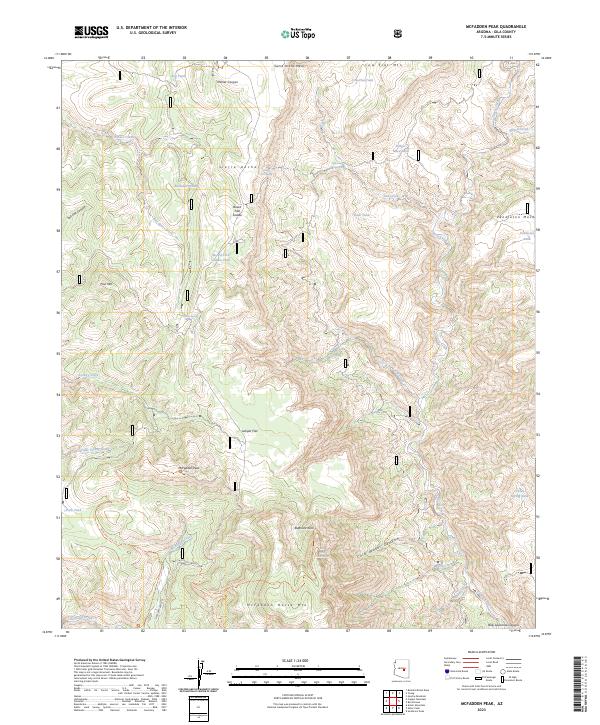
2023 McFadden Peak
Gila County, AZ
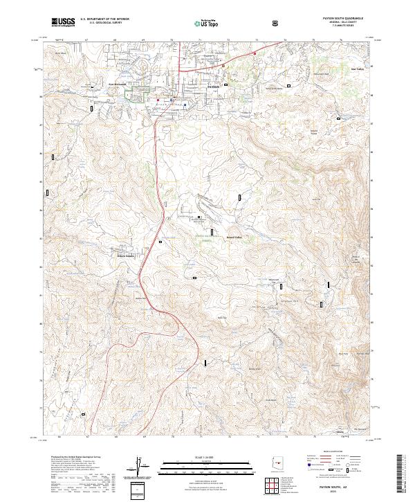
2023 Payson South
Gila County, AZ
2023 Pinal Peak
Gila County, AZ
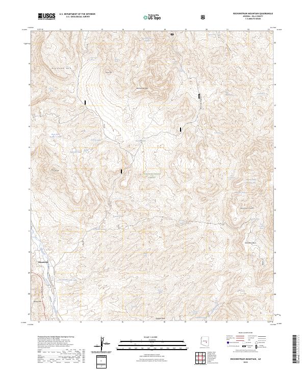
2023 Rockinstraw Mountain
Gila County, AZ
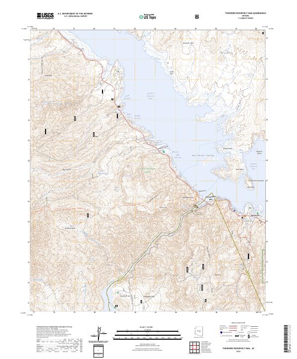
2023 Theodore Roosevelt Dam
Gila County, AZ
2026 Chrome Butte
Gila County, AZ
2026 Coolidge Dam
Gila County, AZ
2026 Double Buttes
Gila County, AZ
2026 El Capitan Mountain
Gila County, AZ
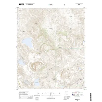
2026 Inspiration
Gila County, AZ
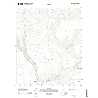
2026 Natural Corral
Gila County, AZ
2026 Salt River Peak
Gila County, AZ
2026 Sombrero Peak
Gila County, AZ
2026 Sontag Mesa
Gila County, AZ