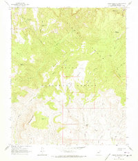
1964 Map of Armer Mountain
USGS Topo · Published 1973About this map
Sierra Ancha dominates this mid-century landscape within the Tonto National Forest, characterized by complex water management and high-desert relief. The map reveals an intricate network of livestock and water infrastructure, including Whiskey Tank, Dutchwoman Tank, and the curiously named Dust Bowl Tank. These man-made features support a geography defined by dramatic landmarks like Dutchwoman Butte and Armer Mountain.
Find a feature on this map
40 named features on this map. Tap any name to fly to it.
Don’t see what you’re looking for? This feature index may not catch every label — zoom into the map to look around manually.
Map Details
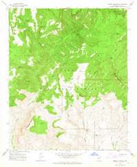
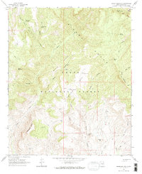
Editions of this 1964 Armer Mountain Map
3 editions found
Other maps of this area

1907 · Roosevelt
USGS Topo · 1:125,000

1909 · Four Peaks
USGS Topo · 1:125,000

1912 · Roosevelt
USGS Topo · 1:125,000

1922 · Chrysotile
USGS Topo · 1:125,000

1949 · McFadden Peak
USGS Topo · 1:62,500

1949 · Rockinstraw Mtn
USGS Topo · 1:62,500

1950 · Rockinstraw Mtn
USGS Topo · 1:62,500

1950 · McFadden Peak
USGS Topo · 1:62,500

1954 · Mesa
USGS Topo · 1:250,000

1957 · Mesa
USGS Topo · 1:250,000