
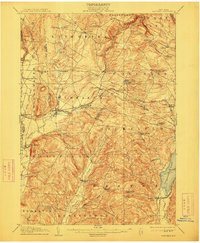
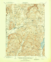
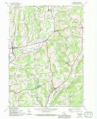
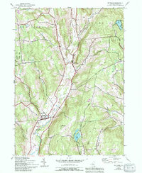
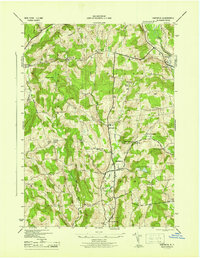
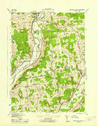
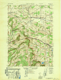
1907 Map of Winfield
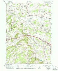
USGS Topo · Published 1907This historical map portrays the area of Winfield in 1907, primarily covering Otsego as well as portions of Oneida County, Madison County, and Herkimer County. Featuring a scale of 1:62500, this map provides a highly detailed snapshot of the terrain, roads, buildings, counties, and historical landmarks in the Winfield region at the time. Published in 1907, it is one of 6 known editions of this map due to revisions or reprints.
Find a feature on this map
68 named features on this map. Tap any name to fly to it.
Don’t see what you’re looking for? This feature index may not catch every label — zoom into the map to look around manually.
Map Details
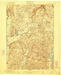
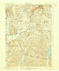
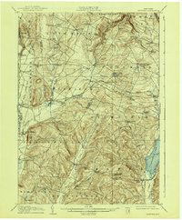
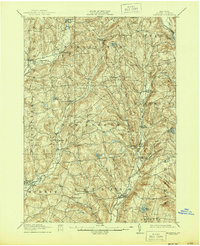
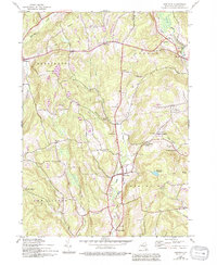
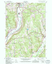
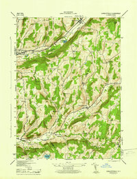
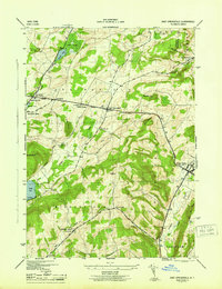
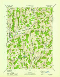
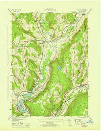
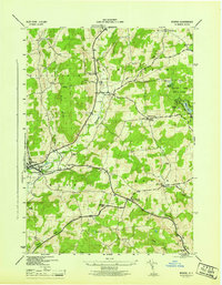
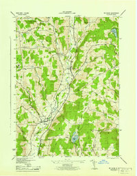
Editions of this 1907 Winfield Map
6 editions found
Historical Maps of North Edmeston Through Time
27 maps found
1907 Winfield
Otsego County, NY

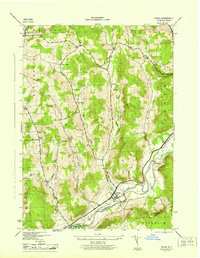
1910 Hartwick
Otsego County, NY
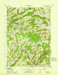
1912 Hartwick
Otsego County, NY
1943 Charlotteville
Otsego County, NY
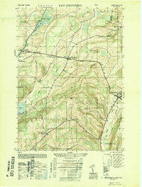
1943 East Springfield
Otsego County, NY
1943 Edmeston
Otsego County, NY
1943 Hartwick
Otsego County, NY
1943 Milford
Otsego County, NY
1943 Morris
Otsego County, NY
1943 Mt Vision
Otsego County, NY
1943 New Berlin South
Otsego County, NY
1943 Otego
Otsego County, NY
1943 South Valley
Otsego County, NY
1943 Sprout Brook
Otsego County, NY
1945 Charlotteville
Otsego County, NY
1945 East Springfield
Otsego County, NY
1945 Edmeston
Otsego County, NY
1945 Hartwick
Otsego County, NY
1945 Milford
Otsego County, NY
1945 Morris
Otsego County, NY
1945 Mt Vision
Otsego County, NY
1945 New Berlin South
Otsego County, NY
1945 Otego
Otsego County, NY
1945 South Valley
Otsego County, NY
1945 Sprout Brook
Otsego County, NY
1947 Sprout Brook
Otsego County, NY
1949 East Springfield
Otsego County, NY