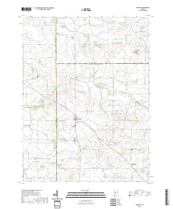
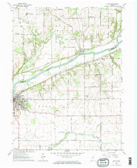
2022 Map of Wingate
USGS Topo · Published 2022About this map
Wingate serves as a central hub on this Indiana landscape, situated at the junction of several county lines where Fountain, Montgomery, and Tippecanoe Counties meet. The area is defined by a dense network of agricultural drainage and natural waterways, including North Fork Coal Creek, Turkey Run, and Big Shawnee Creek. This map reveals a high concentration of historic burial grounds, such as Meharry Cem, Wheeler Grove Cem, and Old Turkey Run Cem, many of which appear to be family-named or associated with early rural congregations. The settlement of Elmdale anchors the southeastern corner, connected to the rest of the region by a rectilinear grid of county roads that traverse the fertile plains. These small settlements and numerous cemeteries provide a clear look at the persistent community structures in this corner of rural Indiana.
Find a feature on this map
89 named features on this map. Tap any name to fly to it.
Don’t see what you’re looking for? This feature index may not catch every label — zoom into the map to look around manually.
Map Details
Editions of this 2022 Wingate Map
This is the sole edition of this map. No revisions or reprints were ever made.
Other maps of this area

1953 · Danville
USGS Topo · 1:250,000

1955 · Danville
USGS Topo · 1:250,000

1956 · Danville
USGS Topo · 1:250,000

1956 · Crawfordsville
USGS Topo · 1:24,000

1958 · Linden
USGS Topo · 1:24,000

1961 · Romney
USGS Topo · 1:24,000
1962 · Waynetown
USGS Topo · 1:24,000
1962 · Mellott
USGS Topo · 1:24,000
1962 · Westpoint
USGS Topo · 1:24,000
1962 · Attica
USGS Topo · 1:24,000