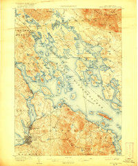
1909 Map of Winnepesaukee
USGS Topo · Published 1917About this map
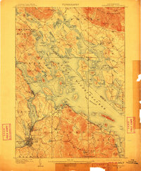
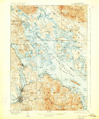
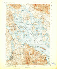
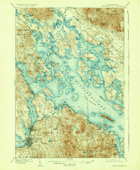
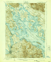
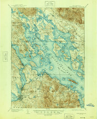
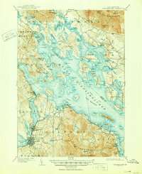
Lake Winnepesaukee dominates this early twentieth-century landscape, a time when the Steamboat Route was a vital link between lakeside settlements. The map illustrates a region transitioning into a premier summer destination, evidenced by developments like White Mountain Park and Interlaken Park. Industrial and transit hubs are centered at Laconia and Lakeport, where the Boston and Maine Railroad skirts the western shores of Paugus Bay. Smaller hamlets like Melvin Village and Moultonboro Falls reveal the earlier agricultural and milling roots of the area. The intricate shoreline is marked by numerous family-named islands and points, such as Becky's Garden and Smith Neck, providing a detailed look at the geography before the mid-century expansion of modern infrastructure. This survey captures the distinct character of the Belknap Mountains overlooking the water.
Find a feature on this map
136 named features on this map. Tap any name to fly to it.
Don’t see what you’re looking for? This feature index may not catch every label — zoom into the map to look around manually.
Map Details
Editions of this 1909 Winnepesaukee Map
9 editions found
Other maps of this area

1909 · Winnepesaukee
USGS Topo · 1:62,500

1919 · Gilmanton
USGS Topo · 1:62,500

1919 · Alton
USGS Topo · 1:62,500

1925 · Holderness
USGS Topo · 1:62,500

1927 · Penacook
USGS Topo · 1:62,500

1927 · Gilmanton
USGS Topo · 1:62,500

1927 · Holderness
USGS Topo · 1:62,500

1928 · Wolfeboro
USGS Topo · 1:62,500

1928 · Plymouth
USGS Topo · 1:62,500

1930 · Ossipee Lake
USGS Topo · 1:62,500