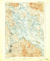
1909 Map of Winnepesaukee
USGS Topo · Published 1926About this map
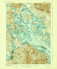
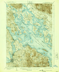
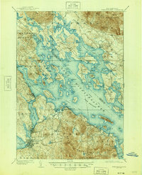
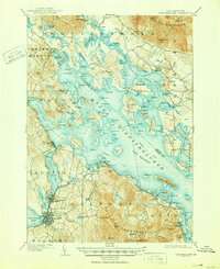
The broad waters of Lake Winnepesaukee dominate this landscape, showing a complex network of island life and shoreline settlements during the early twentieth century. From the industrial hubs of Laconia and Lakeport in the south to the quiet docks of Melvin Village and Center Harbor in the north, the map reveals a region defined by its geography. A notable Steamboat Route weaves through The Broads, connecting The Weirs to various islands and distant landings, emphasizing the importance of water travel before the era of modern road networks. The Boston and Maine RR hugs the western shore, serving towns like Meredith and Sanders. Dramatic elevation changes rise from the lake to the Ossipee Mountains and Belknap Mountains, while smaller family-named landmarks like Gilman Hill and Hollingsworth Hill provide detail for those tracing regional genealogy or land history.
Find a feature on this map
76 named features on this map. Tap any name to fly to it.
Don’t see what you’re looking for? This feature index may not catch every label — zoom into the map to look around manually.
Map Details
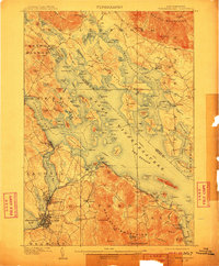
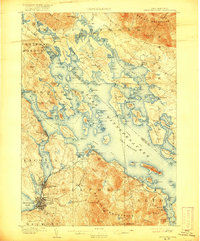
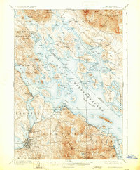
Editions of this 1909 Winnepesaukee Map
9 editions found
Other maps of this area

1909 · Winnepesaukee
USGS Topo · 1:62,500

1919 · Gilmanton
USGS Topo · 1:62,500

1919 · Alton
USGS Topo · 1:62,500

1925 · Holderness
USGS Topo · 1:62,500

1927 · Penacook
USGS Topo · 1:62,500

1927 · Gilmanton
USGS Topo · 1:62,500

1927 · Holderness
USGS Topo · 1:62,500

1928 · Wolfeboro
USGS Topo · 1:62,500

1928 · Plymouth
USGS Topo · 1:62,500

1930 · Ossipee Lake
USGS Topo · 1:62,500