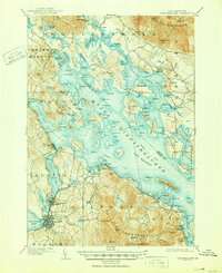
1909 Map of Winnipesaukee
USGS Topo · Published 1950About this map
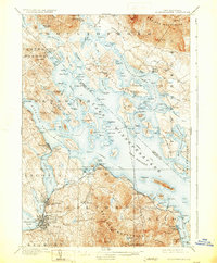
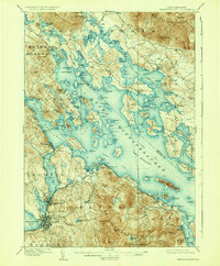
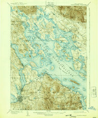
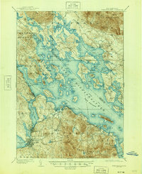
The Boston and Maine RR winds along the southwestern shores of Lake Winnipesaukee, connecting the industrial centers of Laconia and Lakeport with the developing recreational landscape of the early twentieth century. This survey, conducted just after the turn of the century, details the intricate shoreline of the Meredith Neck and the many islands that define the lake's character, such as Beaver Is and Long Island. The map records a transition from traditional lakeside industries at Lees Mills and Moultonboro Falls to early tourism hubs like Interlaken Park and White Mountain Park. To the north and south, the landscape is anchored by the Ossipee Mountains and the Belknap Mountains, while a designated Steamboat Route cuts across the broad waters, illustrating the vital role of water transport before the dominance of the automobile.
Find a feature on this map
179 named features on this map. Tap any name to fly to it.
Don’t see what you’re looking for? This feature index may not catch every label — zoom into the map to look around manually.
Map Details
Editions of this 1909 Winnipesaukee Map
9 editions found
Other maps of this area

1909 · Winnepesaukee
USGS Topo · 1:62,500

1919 · Gilmanton
USGS Topo · 1:62,500

1919 · Alton
USGS Topo · 1:62,500

1925 · Holderness
USGS Topo · 1:62,500

1927 · Penacook
USGS Topo · 1:62,500

1927 · Gilmanton
USGS Topo · 1:62,500

1927 · Holderness
USGS Topo · 1:62,500

1928 · Wolfeboro
USGS Topo · 1:62,500

1928 · Plymouth
USGS Topo · 1:62,500

1930 · Ossipee Lake
USGS Topo · 1:62,500