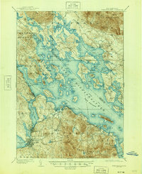
1909 Map of Winnipesaukee
USGS Topo · Published 1945About this map
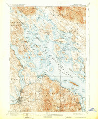
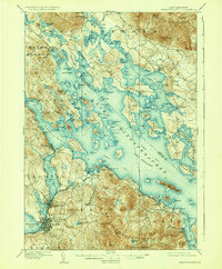
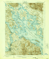
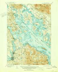
Laconia and Lakeport anchor the southwestern shore of this early 20th-century landscape, where the Boston and Maine RR winds along the water to connect these industrial hubs with the resort communities of the Lakes Region. The map reveals a complex network of island life and water-based transportation, most notably the designated steamboat route that zigzags across the broads of Lake Winnipesaukee to reach remote landings. From Bear Island to Governors Island, dozens of named landforms like Beckys Garden and The Witches emerge from the water, while the looming Ossipee Mountains and Red Hill define the northern horizon. This 1906-1907 survey captures the era when seasonal parks and lakeside camps, such as White Mountain Park and Interlaken Park, began to transform the traditional farming and timber terrain around Meredith and Moultonboro Falls into a premier vacation destination.
Find a feature on this map
150 named features on this map. Tap any name to fly to it.
Don’t see what you’re looking for? This feature index may not catch every label — zoom into the map to look around manually.
Map Details
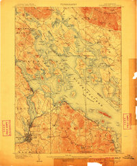
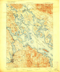
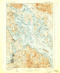
Editions of this 1909 Winnipesaukee Map
9 editions found
Other maps of this area

1909 · Winnepesaukee
USGS Topo · 1:62,500

1919 · Gilmanton
USGS Topo · 1:62,500

1919 · Alton
USGS Topo · 1:62,500

1925 · Holderness
USGS Topo · 1:62,500

1927 · Penacook
USGS Topo · 1:62,500

1927 · Gilmanton
USGS Topo · 1:62,500

1927 · Holderness
USGS Topo · 1:62,500

1928 · Wolfeboro
USGS Topo · 1:62,500

1928 · Plymouth
USGS Topo · 1:62,500

1930 · Ossipee Lake
USGS Topo · 1:62,500