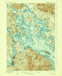
1909 Map of Winnipesaukee
USGS Topo · Published 1935About this map
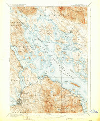
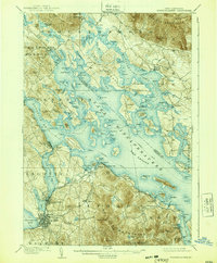
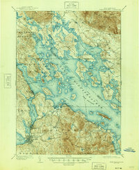
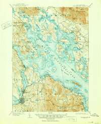
Laconia and the bustling harbor of Lakeport anchor the southwestern shores of New Hampshire's largest lake in this early twentieth-century survey. The map details a complex maritime landscape defined by established Steamboat Routes that connected The Weirs to remote landings like Melvin Village and Lees Mills before modern road networks dominated the region. The Boston and Maine RR hugs the shoreline, serving seasonal destinations such as Interlaken Park and Sanders Gilford Sta.
Find a feature on this map
155 named features on this map. Tap any name to fly to it.
Don’t see what you’re looking for? This feature index may not catch every label — zoom into the map to look around manually.
Map Details
Editions of this 1909 Winnipesaukee Map
9 editions found
Other maps of this area

1909 · Winnepesaukee
USGS Topo · 1:62,500

1919 · Gilmanton
USGS Topo · 1:62,500

1919 · Alton
USGS Topo · 1:62,500

1925 · Holderness
USGS Topo · 1:62,500

1927 · Penacook
USGS Topo · 1:62,500

1927 · Gilmanton
USGS Topo · 1:62,500

1927 · Holderness
USGS Topo · 1:62,500

1928 · Wolfeboro
USGS Topo · 1:62,500

1928 · Plymouth
USGS Topo · 1:62,500

1930 · Ossipee Lake
USGS Topo · 1:62,500