
1909 Map of Winnepesaukee
USGS Topo · Published 1909About this map
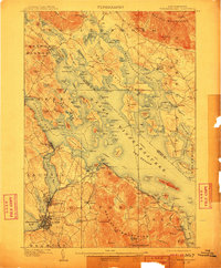
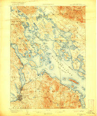
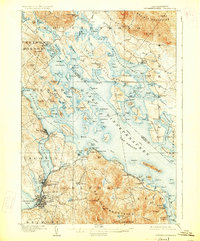
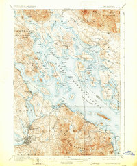
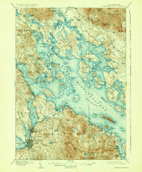
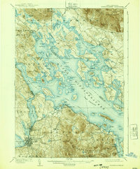
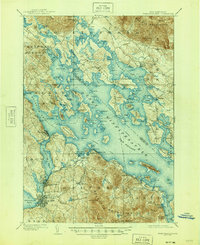
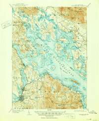
Lake Winnepesaukee dominates the landscape of the Lakes Region at the turn of the century, serving as the primary corridor for commerce and summer travel. The map highlights an established Steamship Route navigating between complex archipelago features like Bear Island and Rattlesnake Island. Along the western shores, the Boston and Maine RR connects industrial and transit hubs like Laconia, Lakeport, and The Weirs, where the rail line meets the water.
Find a feature on this map
89 named features on this map. Tap any name to fly to it.
Don’t see what you’re looking for? This feature index may not catch every label — zoom into the map to look around manually.
Map Details
Editions of this 1909 Winnepesaukee Map
9 editions found
Other maps of this area

1919 · Gilmanton
USGS Topo · 1:62,500

1919 · Alton
USGS Topo · 1:62,500

1925 · Holderness
USGS Topo · 1:62,500

1927 · Penacook
USGS Topo · 1:62,500

1927 · Gilmanton
USGS Topo · 1:62,500

1927 · Holderness
USGS Topo · 1:62,500

1928 · Wolfeboro
USGS Topo · 1:62,500

1928 · Plymouth
USGS Topo · 1:62,500

1930 · Ossipee Lake
USGS Topo · 1:62,500

1931 · Plymouth
USGS Topo · 1:62,500