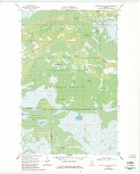
1969 Map of Winter Road Lake SW
USGS Topo · Published 1984About this map
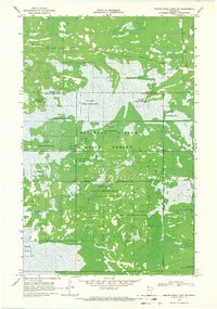
Red Lake Indian Reservation lands dominate this northern landscape, which was updated in the early 1980s to show evolving trails and topography. Much of the area is occupied by the Beltrami Island State Forest and the Red Lake State Wildlife Management Area, highlighting a region dedicated to conservation and traditional land use. Human activity is concentrated around distinct landmarks like the Norris Lookout Tower and Norris Camp Landing Field, while the Wildwood Cem provides a point of interest for those tracking local family history.
Find a feature on this map
17 named features on this map. Tap any name to fly to it.
Don’t see what you’re looking for? This feature index may not catch every label — zoom into the map to look around manually.
Map Details
Editions of this 1969 Winter Road Lake SW Map
2 editions found
Other maps of this area

1918 · Winterroad
USGS Topo · 1:62,500

1918 · F
USGS Topo · 1:62,500

1918 · Malcolm
USGS Topo · 1:62,500

1954 · Roseau
USGS Topo · 1:250,000

1957 · Roseau
USGS Topo · 1:250,000

1958 · Roseau
USGS Topo · 1:250,000
1968 · Winter Road Lake
USGS Topo · 1:24,000
1968 · Mulligan Lake NE
USGS Topo · 1:24,000
1968 · Winter Road Lake NW
USGS Topo · 1:24,000
1968 · Mulligan Lake
USGS Topo · 1:24,000