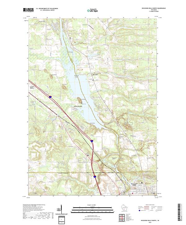
2022 Map of Wisconsin Dells North
USGS Topo · Published 2022About this map
The Wisconsin River carves a path through the heart of this landscape, defining the northern reaches of the famous Dells region where the borders of Adams, Juneau, Sauk, and Columbia Counties meet. This modern survey illustrates the intricate river morphology, featuring prominent formations such as Stand Rock, Steamboat Rock, and the tight passage at The Narrows. These geological features are complemented by narrow erosional cuts like Witches Gulch and Coldwater Canyon, which have long drawn interest to the area.
Find a feature on this map
96 named features on this map. Tap any name to fly to it.
Don’t see what you’re looking for? This feature index may not catch every label — zoom into the map to look around manually.
Map Details
Editions of this 2022 Wisconsin Dells North Map
This is the sole edition of this map. No revisions or reprints were ever made.
Historical Maps of Oaklawn Through Time
14 maps found
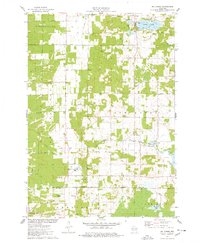
1967 Arkdale NE
Adams County, WI

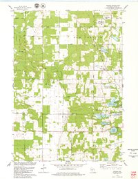
1967 Roche A Cri
Adams County, WI
1968 Coloma NW
Adams County, WI
1968 Coloma SW
Adams County, WI
1975 Big Spring
Adams County, WI
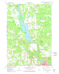
1975 Wisconsin Dells North
Adams County, WI
1979 Brooks
Adams County, WI
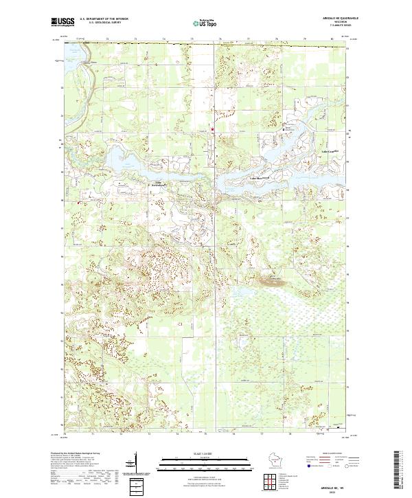
2022 Arkdale NE
Adams County, WI
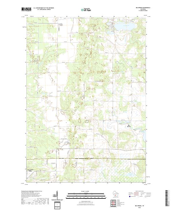
2022 Big Spring
Adams County, WI
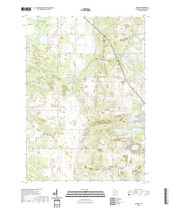
2022 Brooks
Adams County, WI
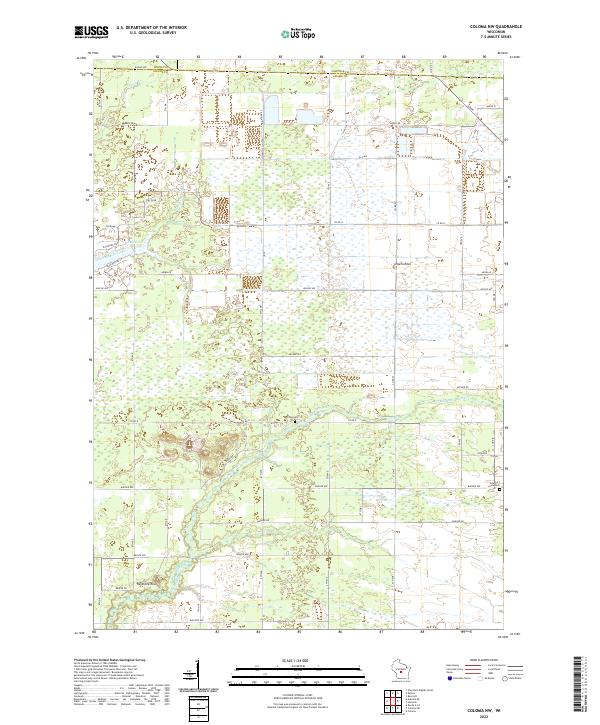
2022 Coloma NW
Adams County, WI
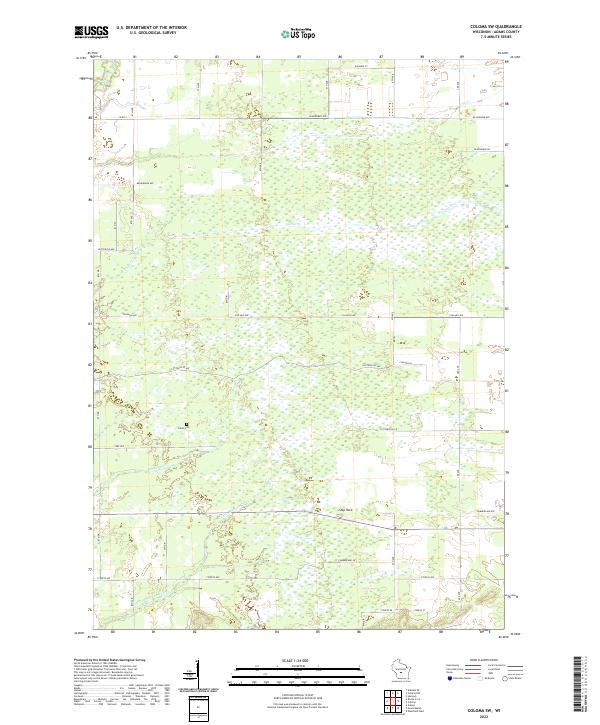
2022 Coloma SW
Adams County, WI
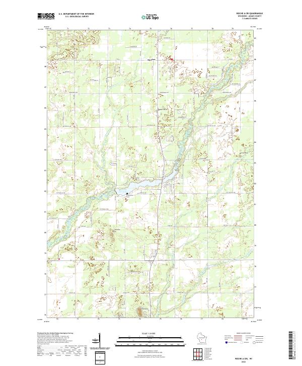
2022 Roche A Cri
Adams County, WI
2022 Wisconsin Dells North
Adams County, WI