
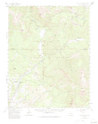
1957 Map of Wolf Creek Pass
USGS Topo · Published 1959About this map
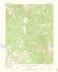
The Continental Divide snakes through the high country of this 1957 survey, marking the jagged boundary between the Rio Grande National Forest and San Juan National Forest. While the terrain is dominated by summits like Treasure Mountain and Blackhead Peak, the lower elevations reveal a network of high-altitude ranching and livestock movement. Named holdings such as Three Meadows Ranch, West Fork Ranch, and At Last Ranch are positioned along the river valleys, where a Stock Drive and various trails indicate the seasonal movement of animals through the peaks. In the southern reach, the Red Ryder Rodeo Grounds near a local Sawmill point to the recreational and industrial life of the mid-century community. Historical infrastructure includes multiple outposts like the Silver Falls Guard Station and the Highway Maintenance Camp near Wolf Creek Pass, reflecting the era's ongoing efforts to manage and maintain access through this pass.
Find a feature on this map
58 named features on this map. Tap any name to fly to it.
Don’t see what you’re looking for? This feature index may not catch every label — zoom into the map to look around manually.
Map Details
Editions of this 1957 Wolf Creek Pass Map
6 editions found
Other maps of this area

1905 · San Cristobal
USGS Topo · 1:125,000

1907 · San Cristobal
USGS Topo · 1:125,000

1913 · Summitville
USGS Topo · 1:125,000

1914 · Creede
USGS Topo · 1:125,000

1915 · Summitville
USGS Topo · 1:125,000

1916 · Creede
USGS Topo · 1:125,000

1924 · Pagosa Springs
USGS Topo · 1:125,000

1927 · Pagosa Springs
USGS Topo · 1:125,000

1945 · Durango
USGS Topo · 1:250,000

1953 · Durango
USGS Topo · 1:250,000